東京 - 京都 TOKYO - KYŌTO
東京 -> 甲府市 -> 松本市 -> 高山市 -> 郡上市 -> 敦賀市 -> 京都
Logs
DATES: 05.25.2024-05.30.2024
RIDERS: Arnout, Adrien, Lysandre, Gerco (Day 1&2), Jochem (Day 1) and Thomas (Day 2)
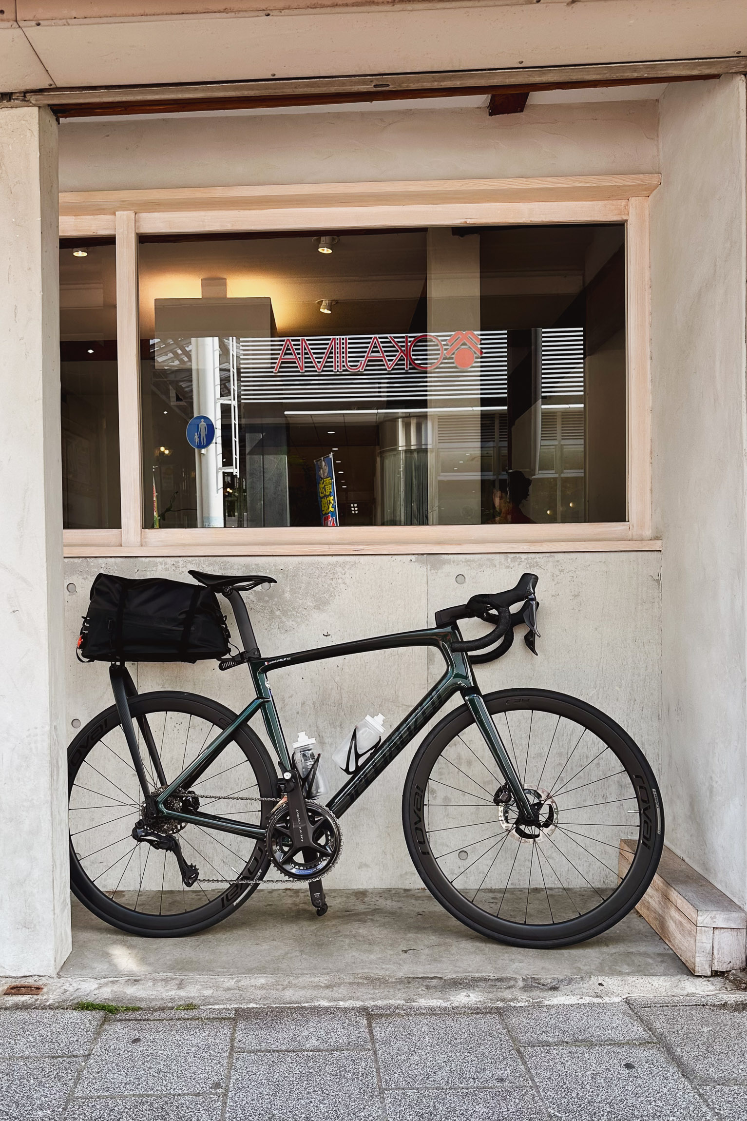
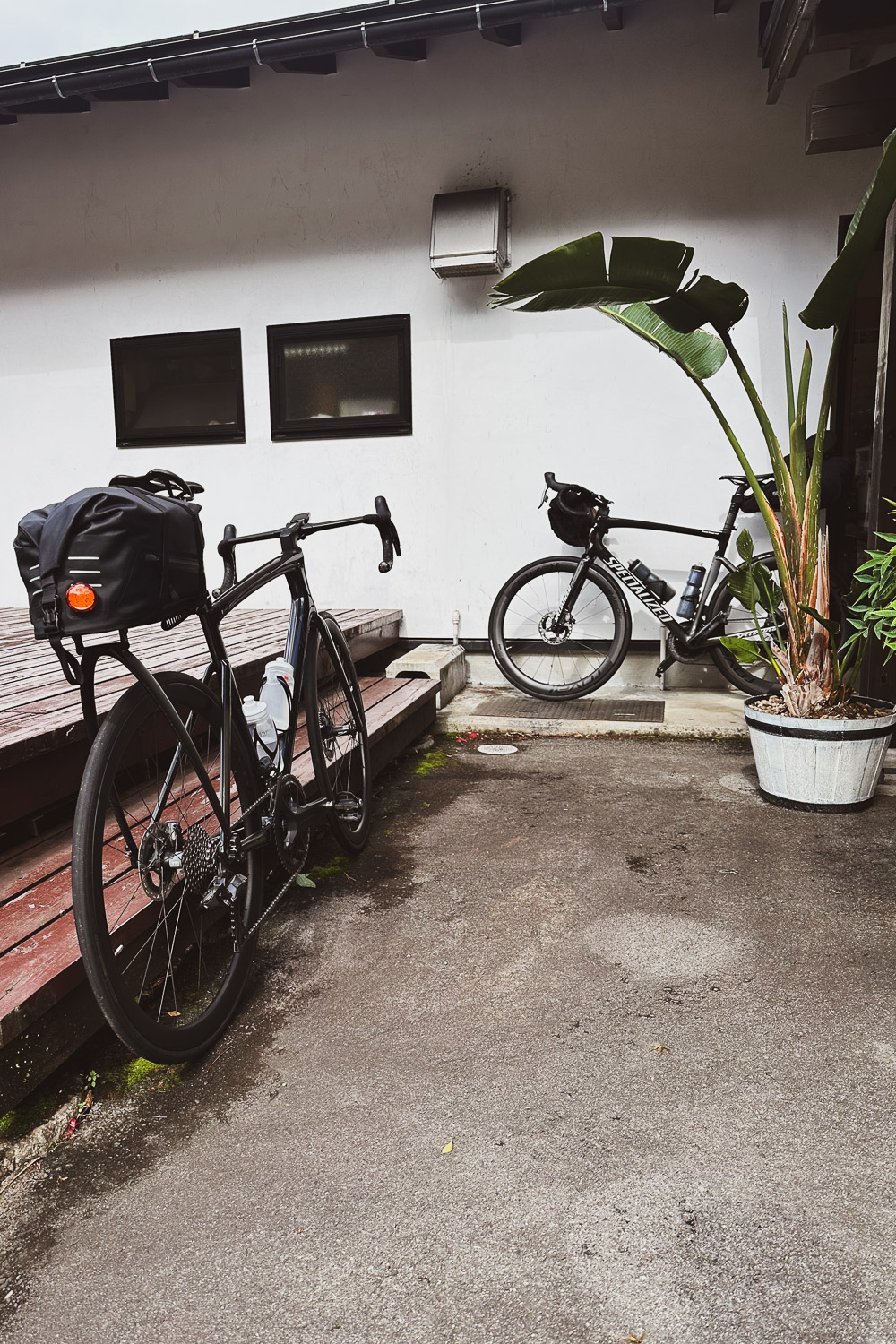
BIKE: Specialized Tarmac SL 7 Expert 2022
THANKS: Vladimir, Charlie and Michael, Ayesha and Aaliÿa, Shinjuku Specialized Concept store mechanics
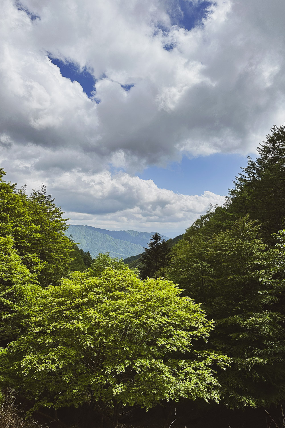
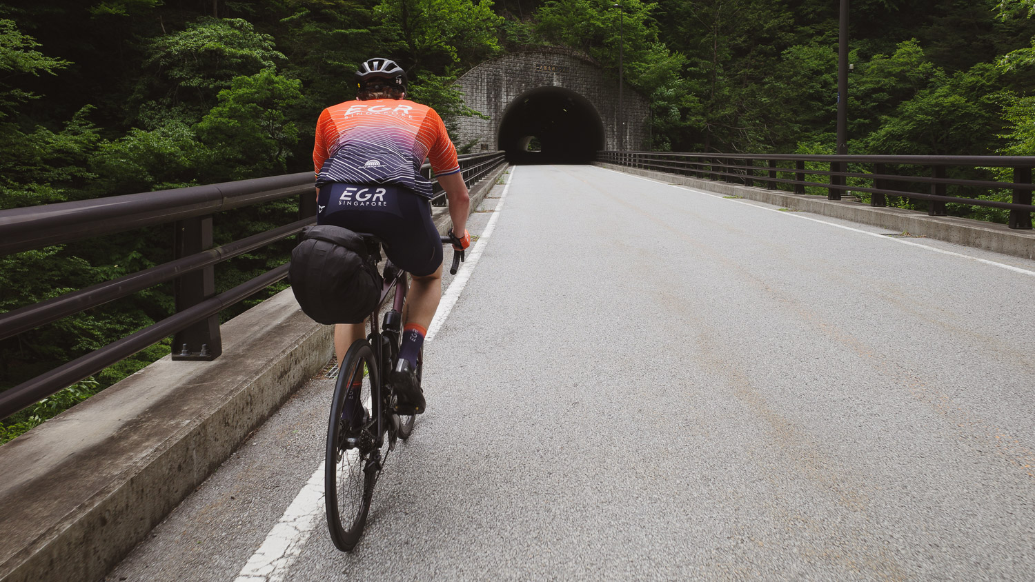
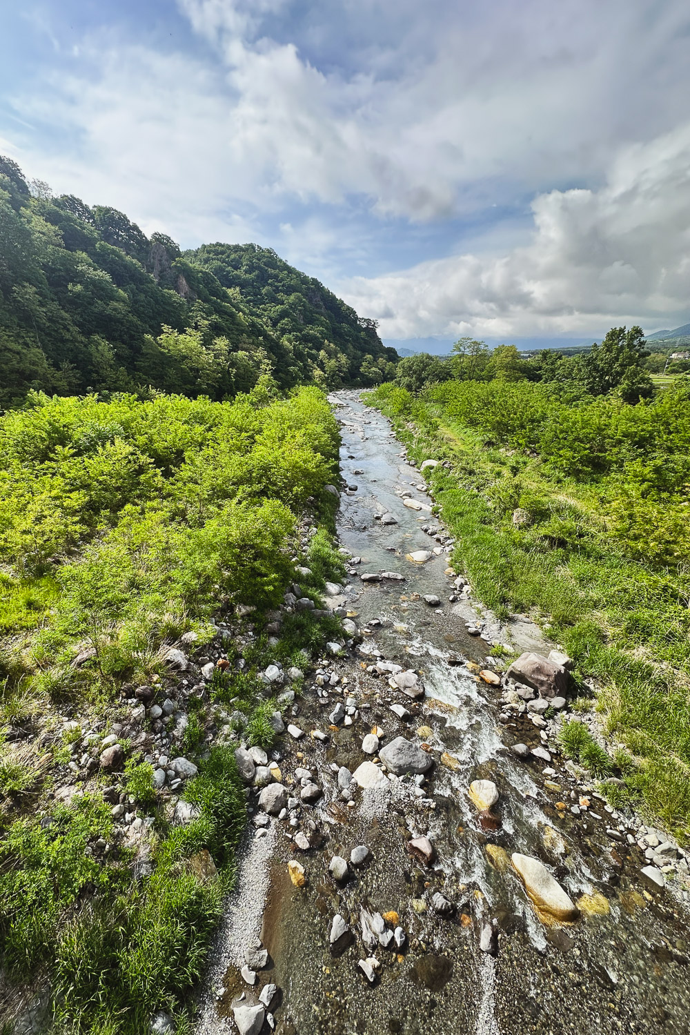
A 6 days cycling adventure from Tokyo to Kyōto via the Northern Japanese Alps (北アルプス, Kita Arupusu) also known as the Hida Mountains (飛騨山脈).
It all began during an overnight cycling trip to Mt. Fuji with my friend Vladimir. I mentioned my dream of embarking on a long adventure across Japan before returning to the USA, something epic like a ride from Tokyo to Kyōto. Vladimir told me about a cyclist named Arnout, who was planning exactly that journey at the end of May before heading back to The Netherlands.
The next day, I received Arnout's itinerary: a six-day adventure through the Northern Japanese Alps (formed between 2 to 5 million years ago during the Pliocene epoch), including the Norikura Skyline, the highest paved road in Japan at over 2,700 meters8,859 feet. It didn't take long for me to decide to join him for a couple of days. After checking in with my family and Portland based coach Adam, I committed to the full course.
Preparation for the trip began in earnest. I cycled as much as possible in the lead-up, tackling back-to-back long rides, including a grueling 12h - 350 km218 mi - 3,500 m11,483 ft elevation - coast to coast day trip. By the time the start date approached, I had logged over 2,200 kilometers1,367 miles in less than 45 days.
A few more riders joined us: Adrien, Gerco (days 1 & 2), Jochem (day 1), and Thomas (day 2). The itinerary was a slightly modified version of a trip undertaken by Charlie and Michael, two experienced Tokyo-based cyclists, in 2022.
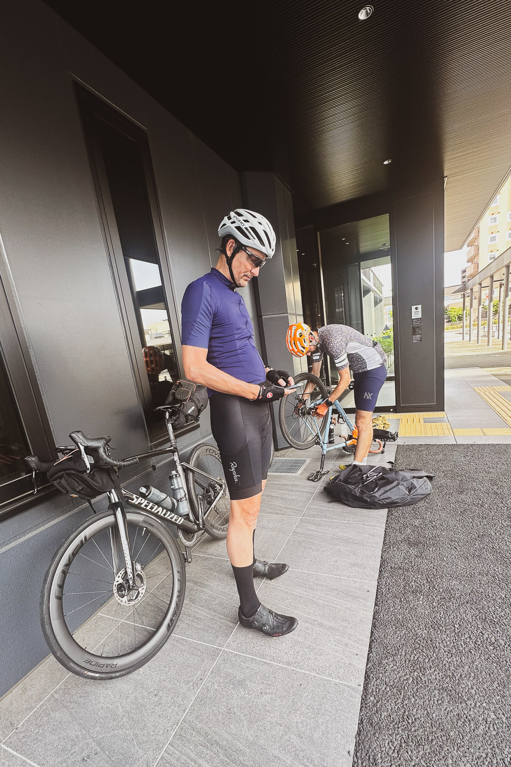
We set off from Roppongi Hills, Minato-ku Tokyo, at 6 am on Saturday, May 25th. Just days before, the mechanics at Specialized Shinjuku serviced my bike, changing the disc pads and rotors. I was packed and ready to go.
What follows is a log of our adventure. Planning this trip, I found it challenging to gather information on road and pass closures due to winter conditions. I hope this log proves helpful to anyone planning a similar cycling journey from Tokyo to Kyōto—you absolutely should!
Before you dive in, if you can't make sense of the metric system you can switch to Imperial Units.
766 km
476 mi
Total Length
28h31
Moving Time
136 bpm
Avg BPM
71 rpm
Avg RPM
11,292 m
37,048 ft
Total Ascent
2,699 m
8,855 ft
Max Elevation
197 W
Weighted Avg Power
4.5 m
14.8 ft
Min Elevation
26 kph
16.2 mph
Avg Speed
5d 05:25'
Total Time
19,001 cal
Total Calories
178 bpm
Max BPM
1 日目 6:26 am 05/25
151 km
94 mi
Distance
5:34:41
Moving Time
26.4 kph
16.4 mph
AVG Speed
1,851 M
6,073 ft
Elevation
19 °C
66 °F
AVG Temp
3,568 CAL
Calories
Link to Strava activity
Tokyo 東京 -> Kōfu 甲府市
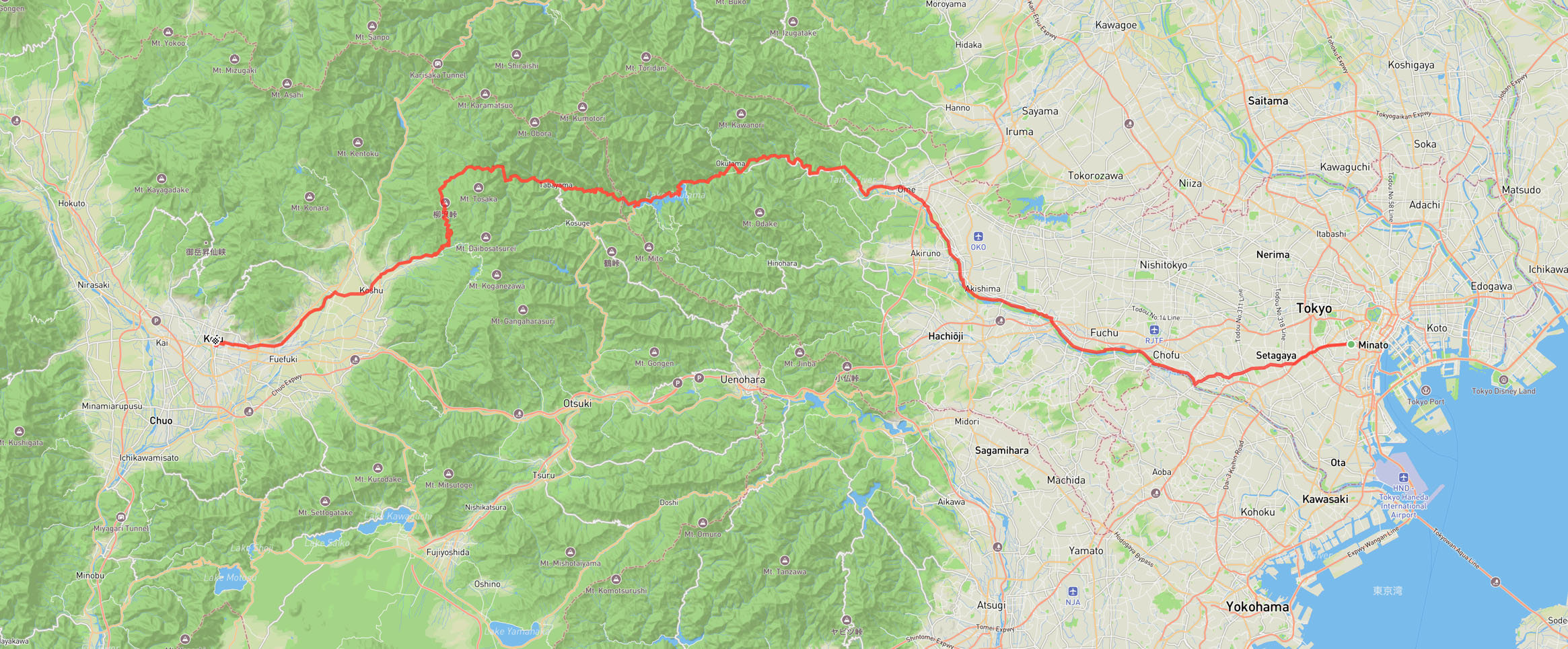
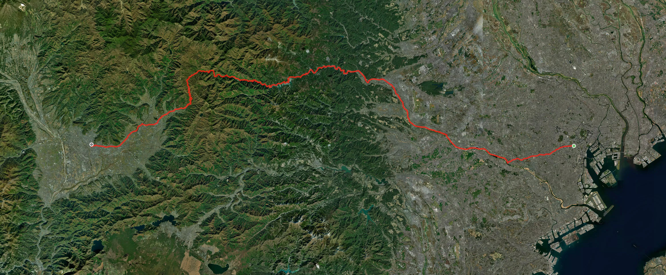
I left Roppongi Hills at 6:30 am, met Gerco alongside Meguro Canal, and we then headed towards the Tama River (多摩川, Tama-gawa) to meet Arnout, Jochem coming from Yokohama (横浜), and Adrien.
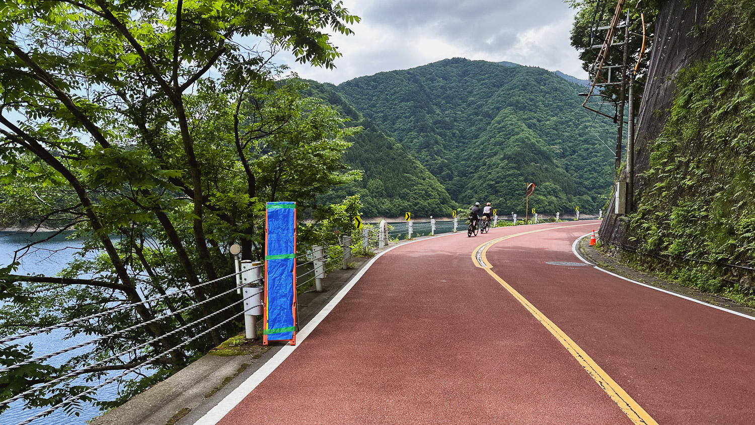
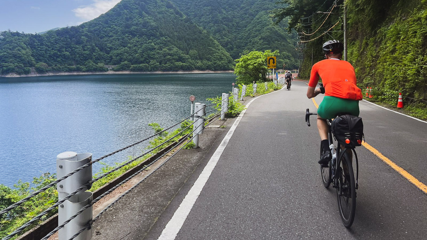
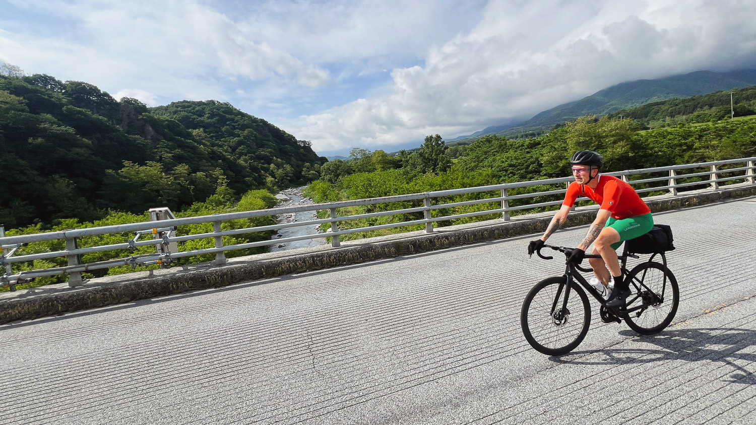
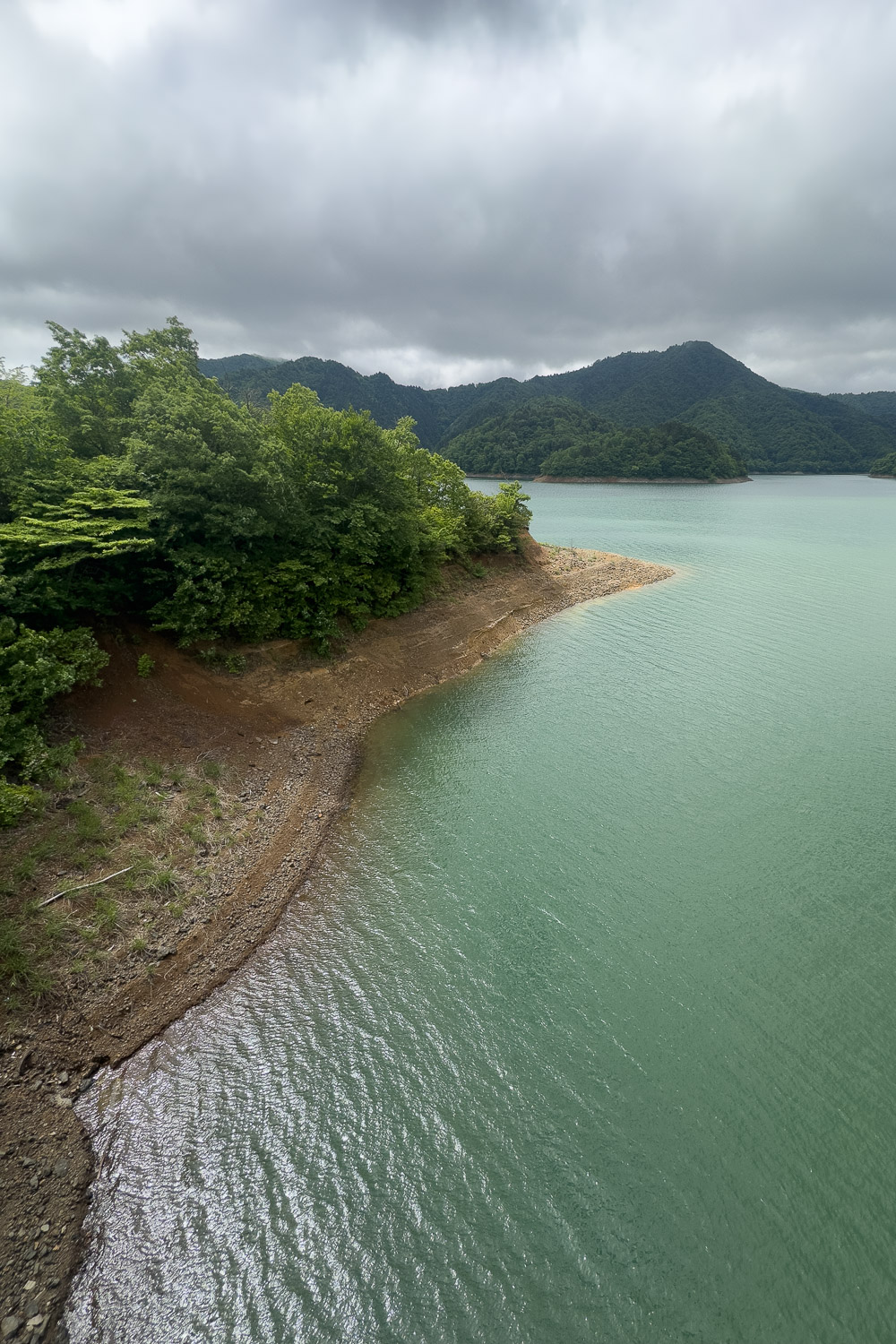
It was a warm and sunny day as we followed the Tama River all the way to Lake Okutama (奥多摩湖, Okutama-ko) [fig 1] [fig 2 - by Gerco], a man-made lake created by damming the Tamagawa River with the Ogouchi Dam, completed in 1957. Also known as the Ogōchi Reservoir, it has a total capacity of 180,000,000 tons and supplies about 20% of the water used by Tokyo residents.
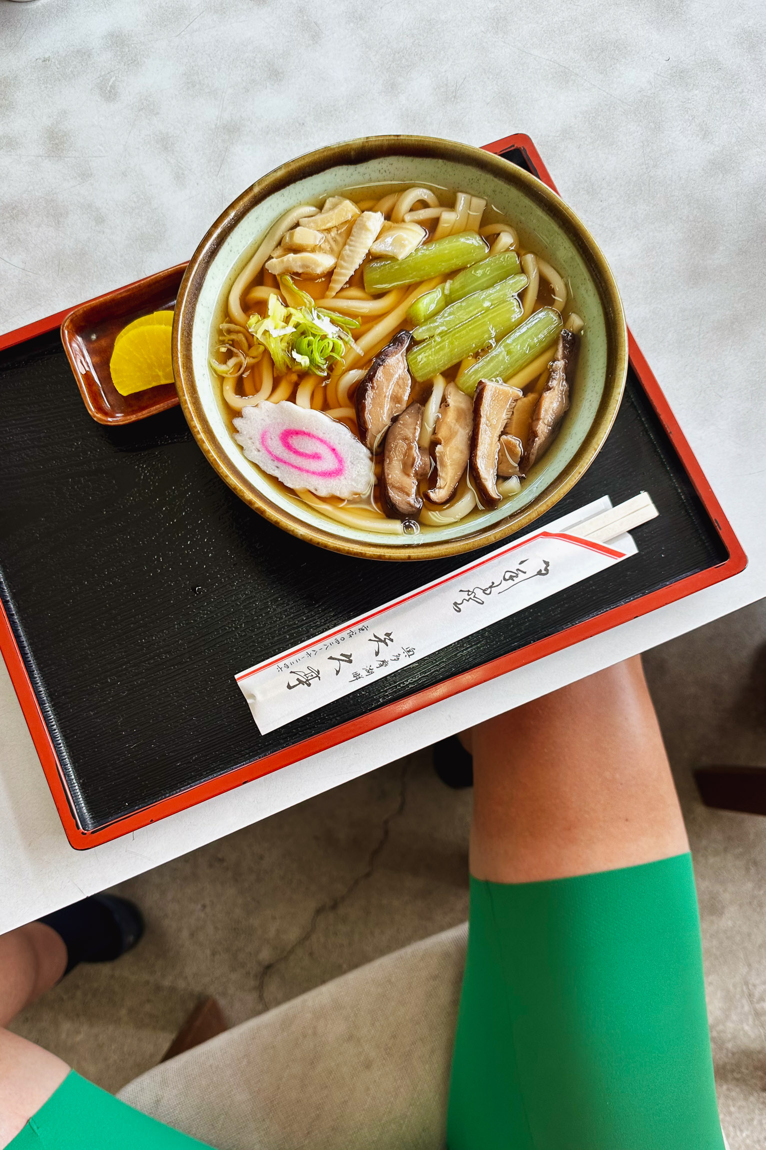
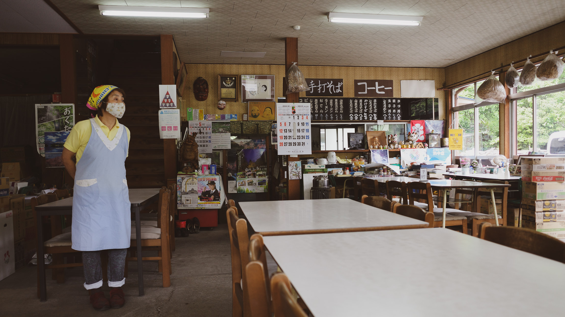
We stopped for lunch 87 km54 mi in, at an udon shop at the end of Lake Okutama [fig 3, 4 & 5]. After about an hour, we bid farewell to Jochem and got back on the road, finally leaving Tokyo Prefecture and entering Yamanashi (山梨県, Yamanashi-ken).
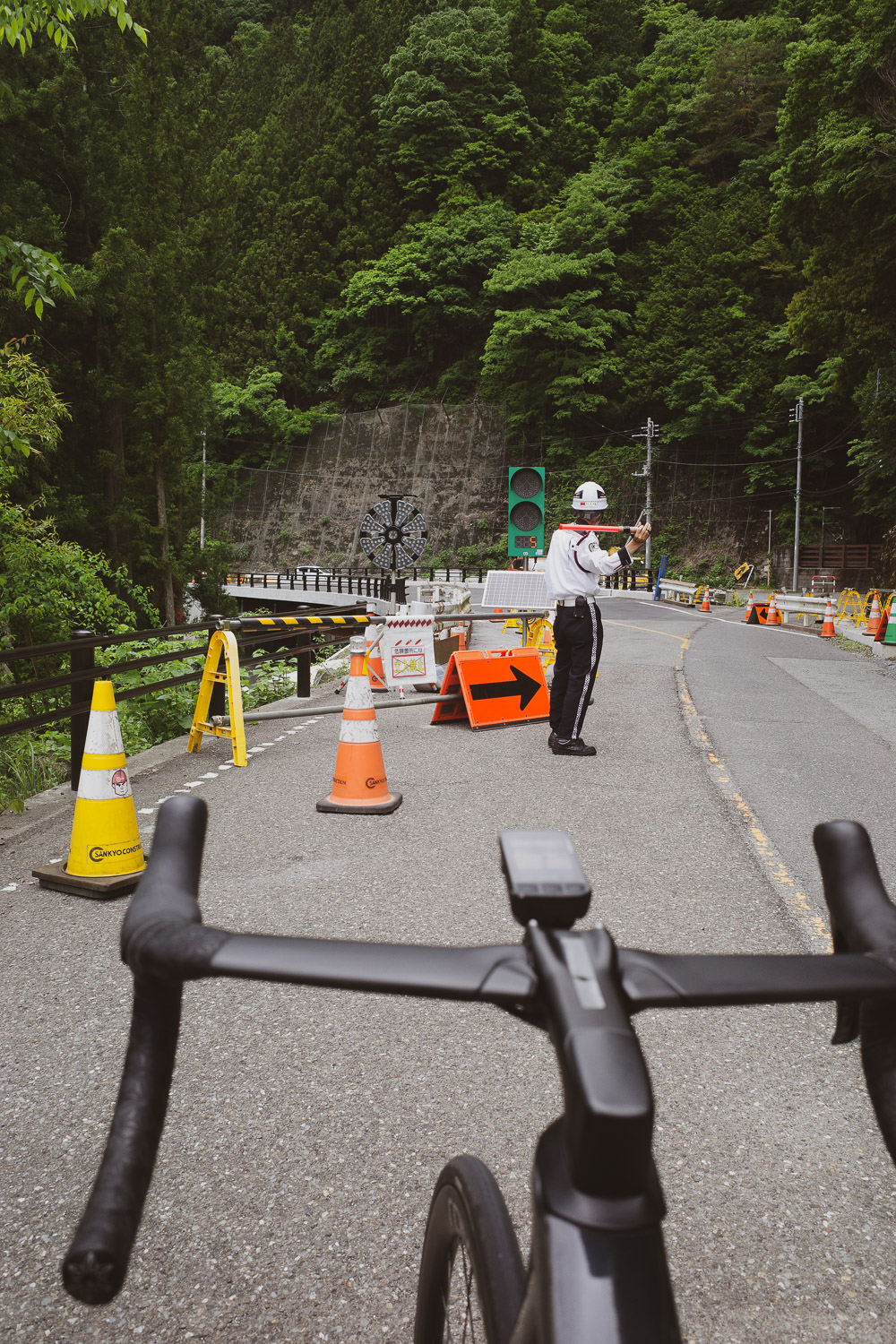
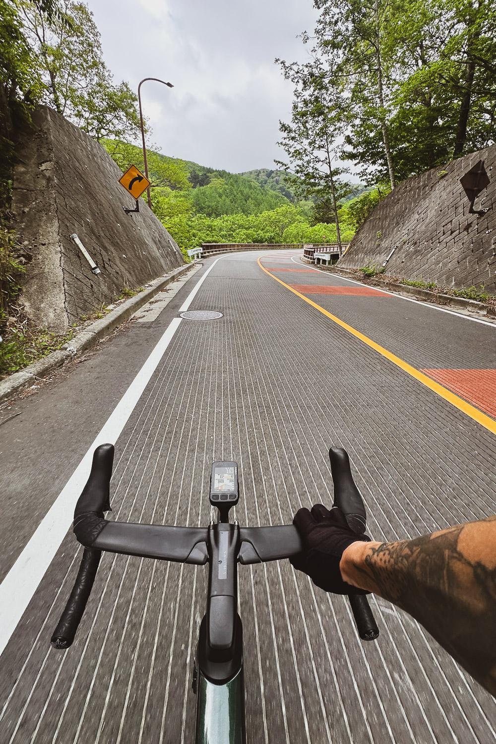
Twenty kilometersTwelve miles later, we began the ascent of Yanagisawa Pass (柳沢峠), a 16.9 km10.5 mi climb at an average 4.5% gradient and 465 m1526 ft of elevation gain [fig 6].
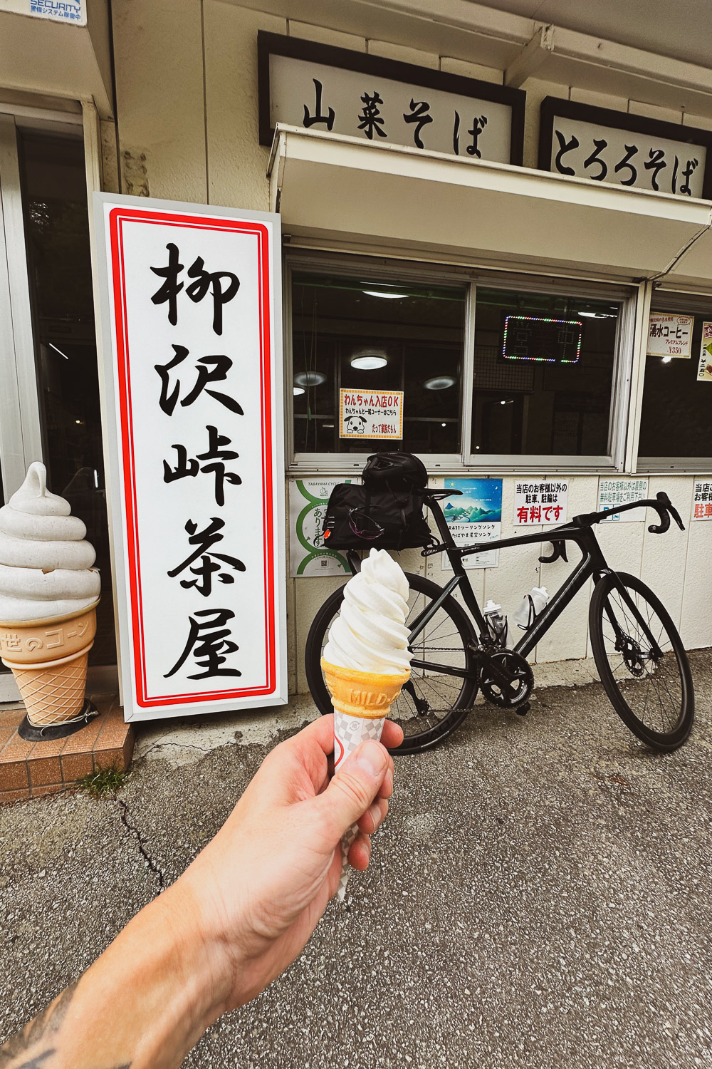
At the top, at an altitude of 1,472 meters4,829 feet, we found the Yanagisawa Pass Cafe [fig 7], where we enjoyed a soft serve while admiring the breathtaking view down the valley [fig 8].
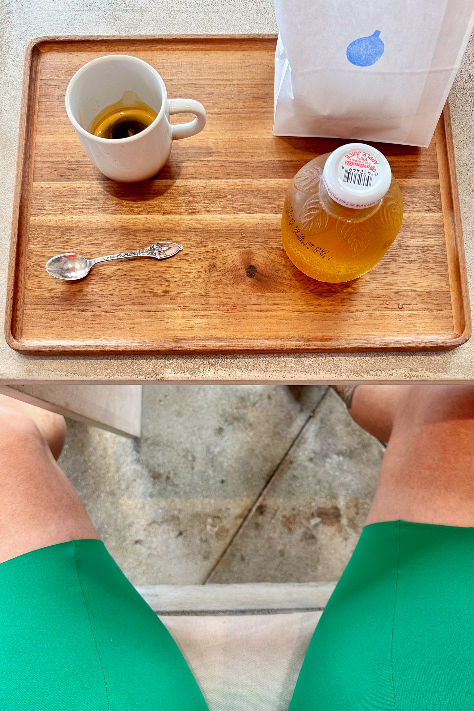
From there, it was almost entirely downhill to Kōfu (甲府市). We wrapped up the day with a stop at Terasaki Coffee (@terasakicoffee) [fig 9 & 10] before heading to our hotel.
2 日目 5:57 am 05/26
146 km
90.7 mi
Distance
5:42:40
Moving Time
24.4 kph
15.2 mph
AVG Speed
2,622 M
8,602.4 ft
Elevation
18 °C
64 °F
AVG Temp
4,226 CAL
Calories
Link to Strava activity
Kōfu 甲府市 -> Norikura Kōgen 松本市
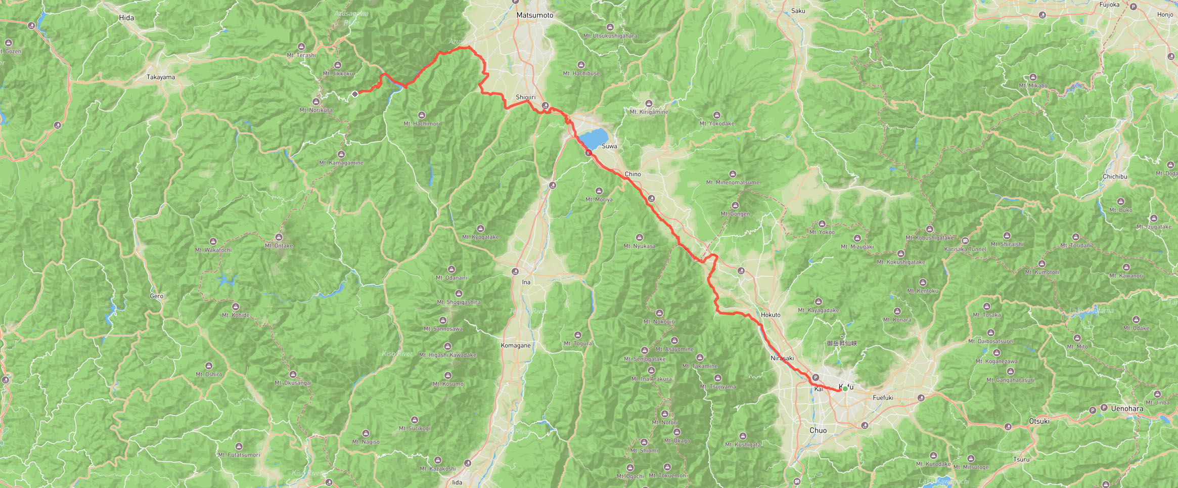
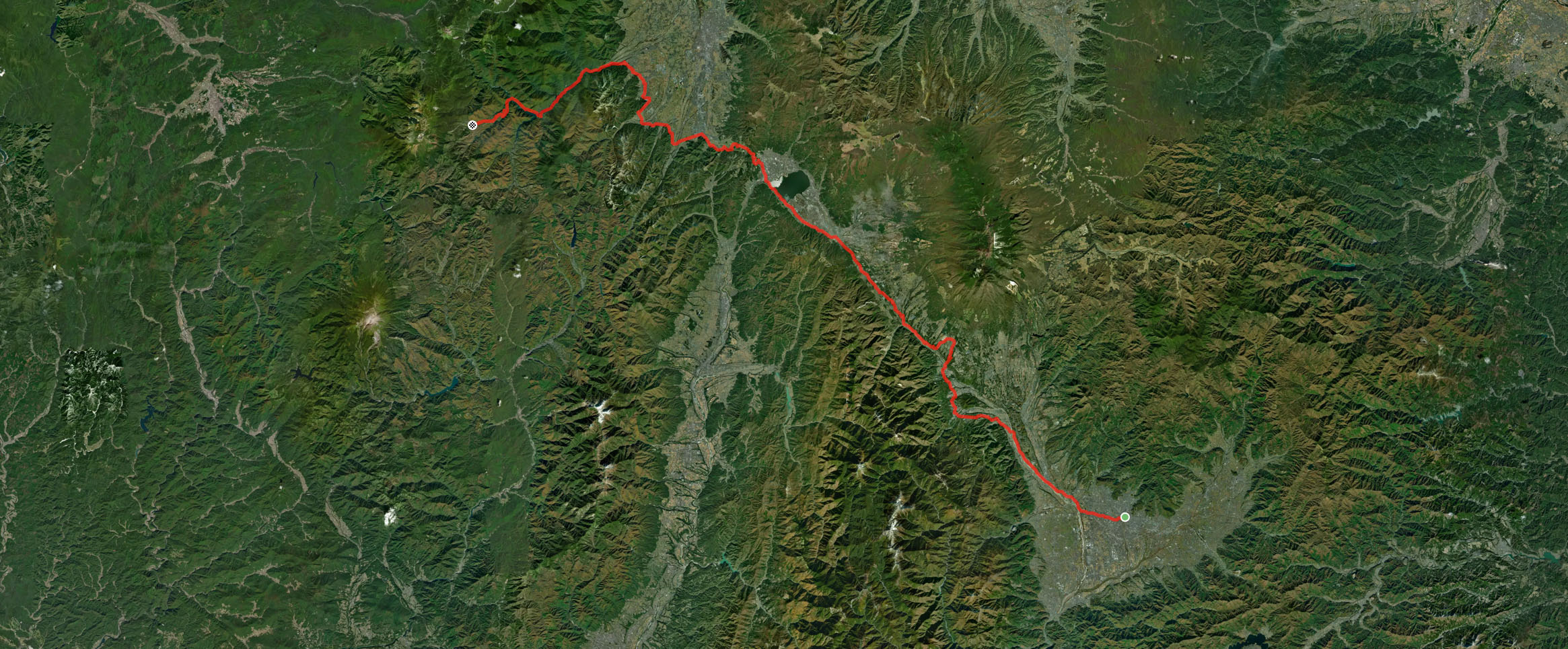
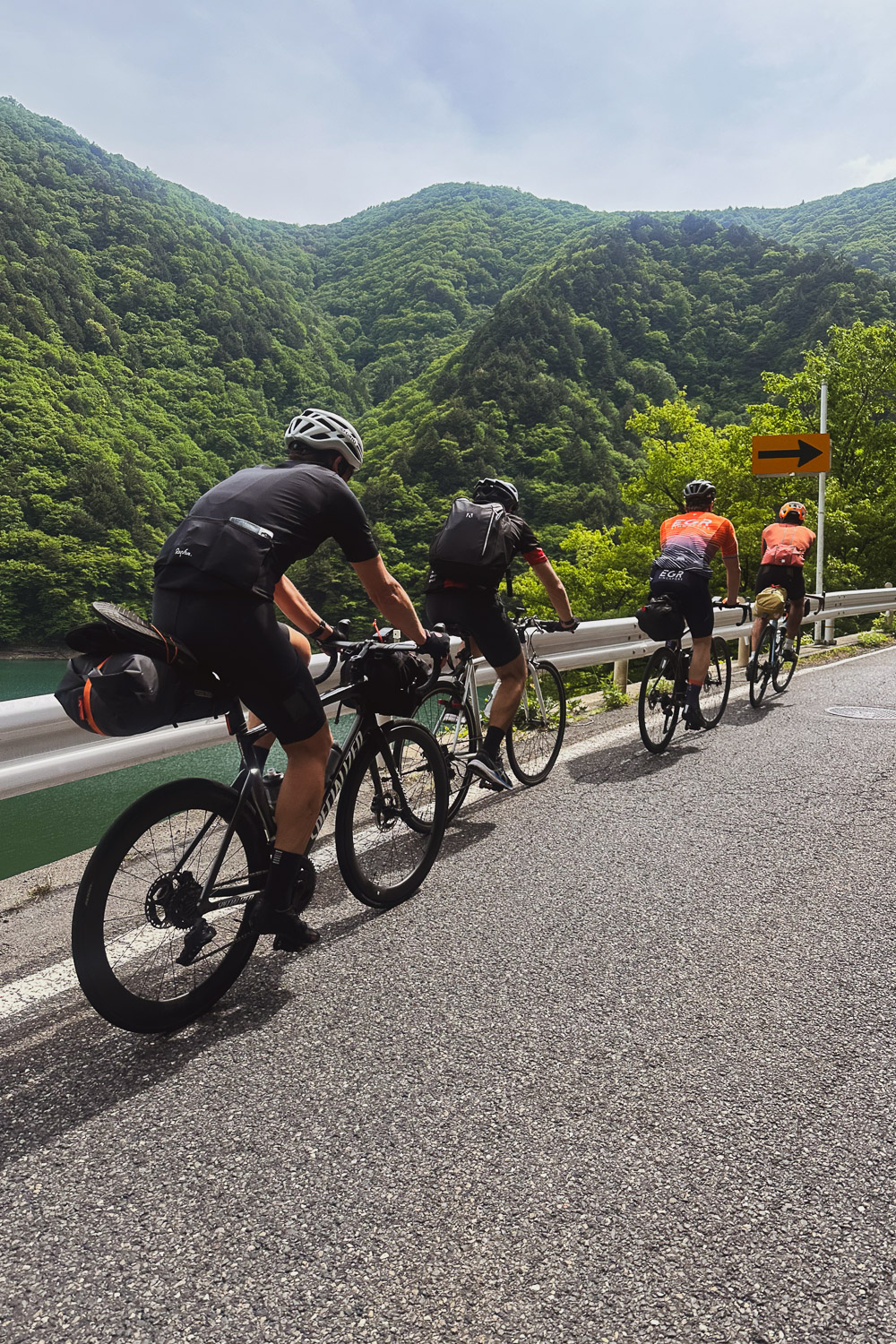
Day 2 promised to be a big day. We started early at 5:57 am, aiming to reach Norikura Kōgen (乗鞍高原) before dusk. Thomas joined us, and we hit the road.
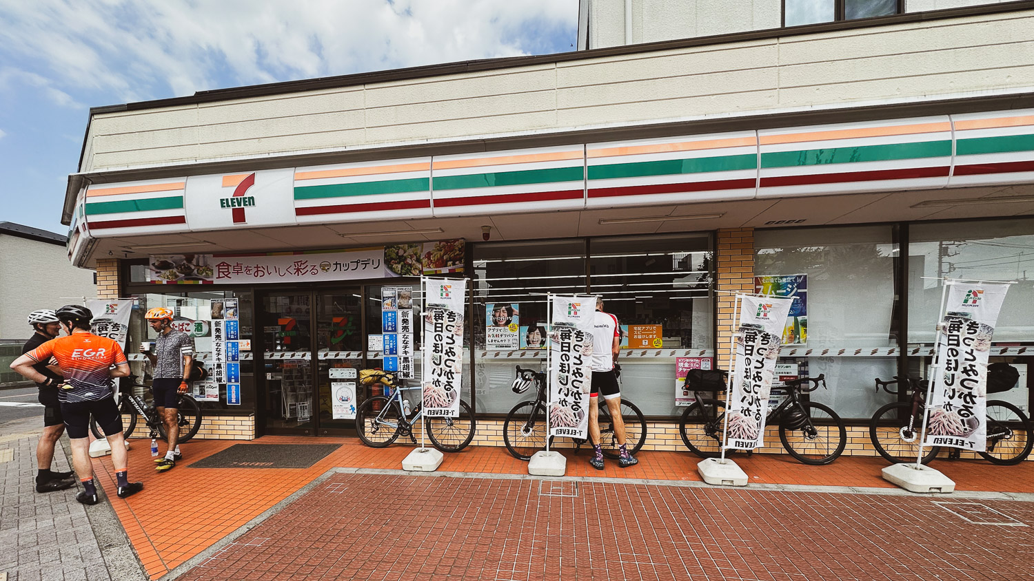
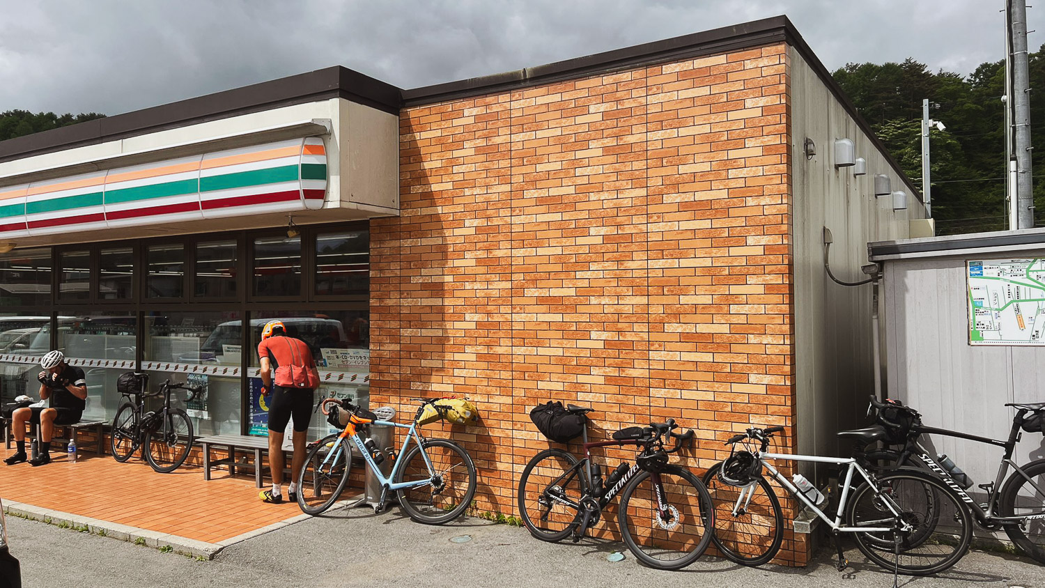
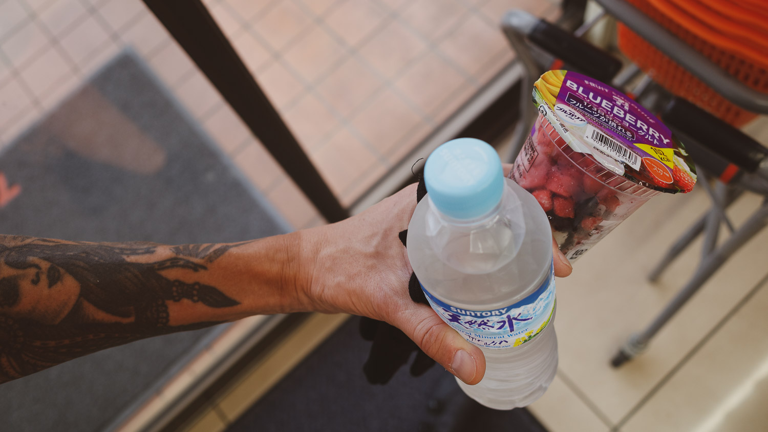
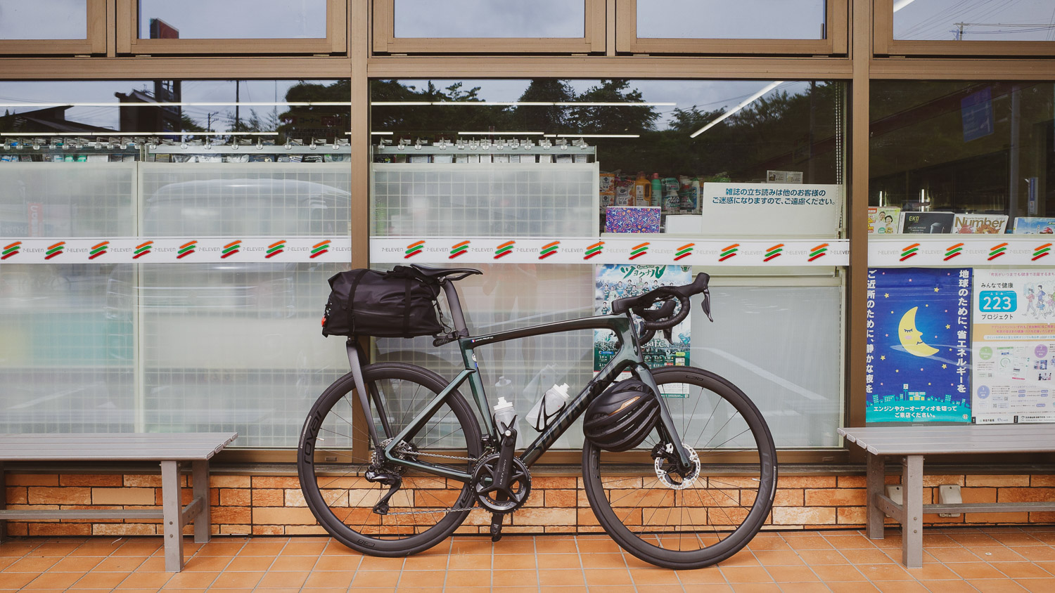
This day turned out to be my least favorite, with long stretches of road and strong winds [fig 1]. We made many stops at 7-Eleven to enjoy smoothies [fig 5] and other convenience store favorites.
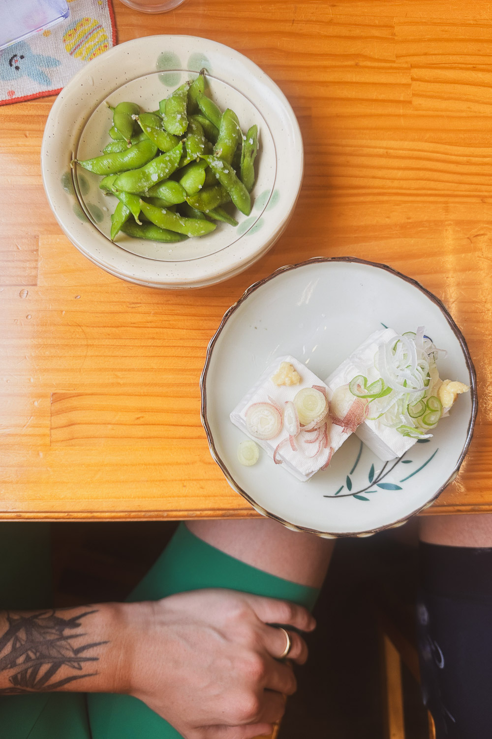
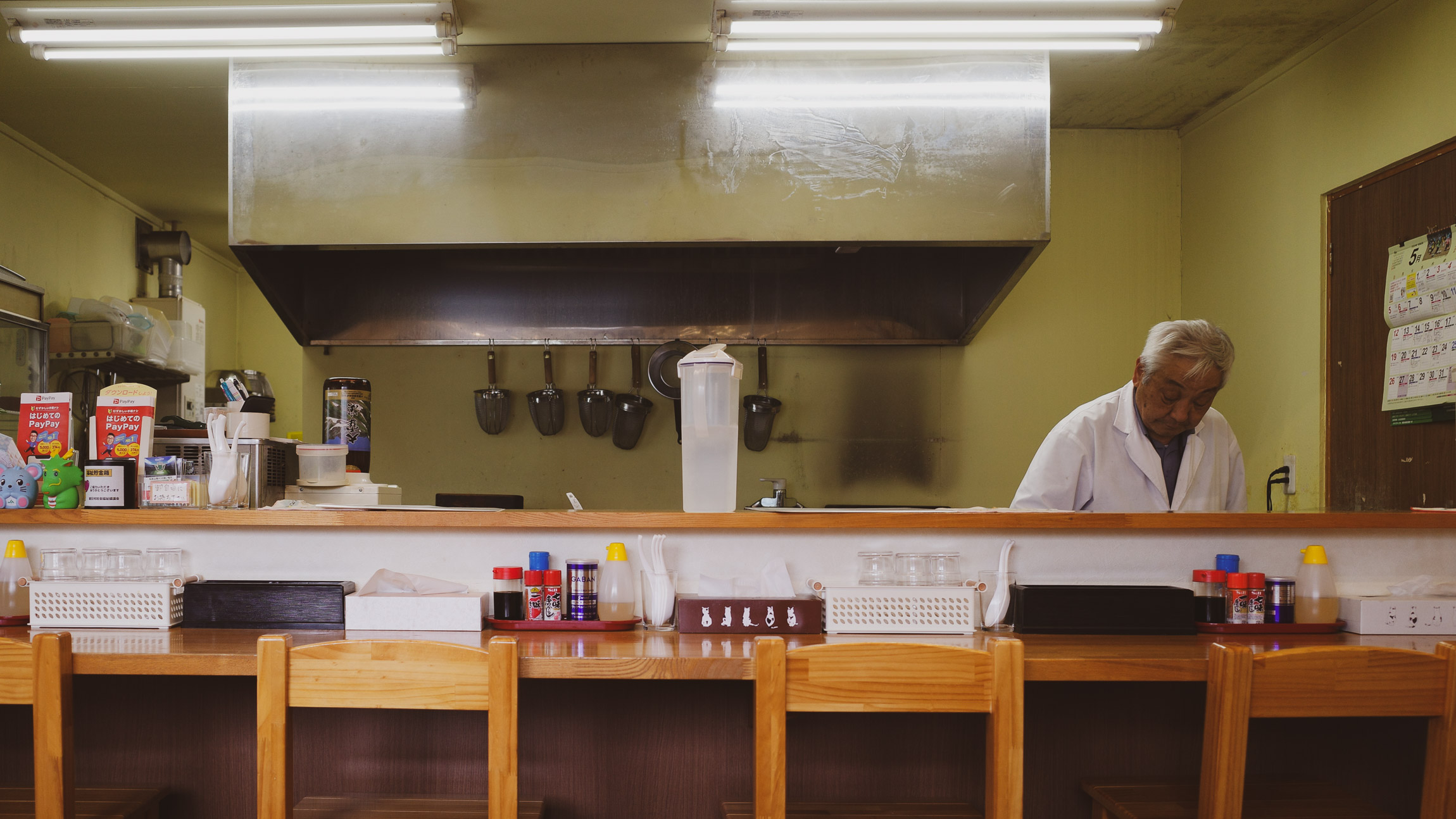
For lunch, we stopped at a ramen shop that only served pork-based dishes [fig 4], so I settled for rice, tofu, and edamame [fig 2].
Later in the day, I started experiencing right knee pain, which I resolved at the guesthouse by adjusting my cleat that had shifted a few millimeters to the right.
From Matsumoto (松本市, Matsumoto-shi), a city in Nagano Prefecture (長野県, Nagano-ken), the last 25 km15.5 miles
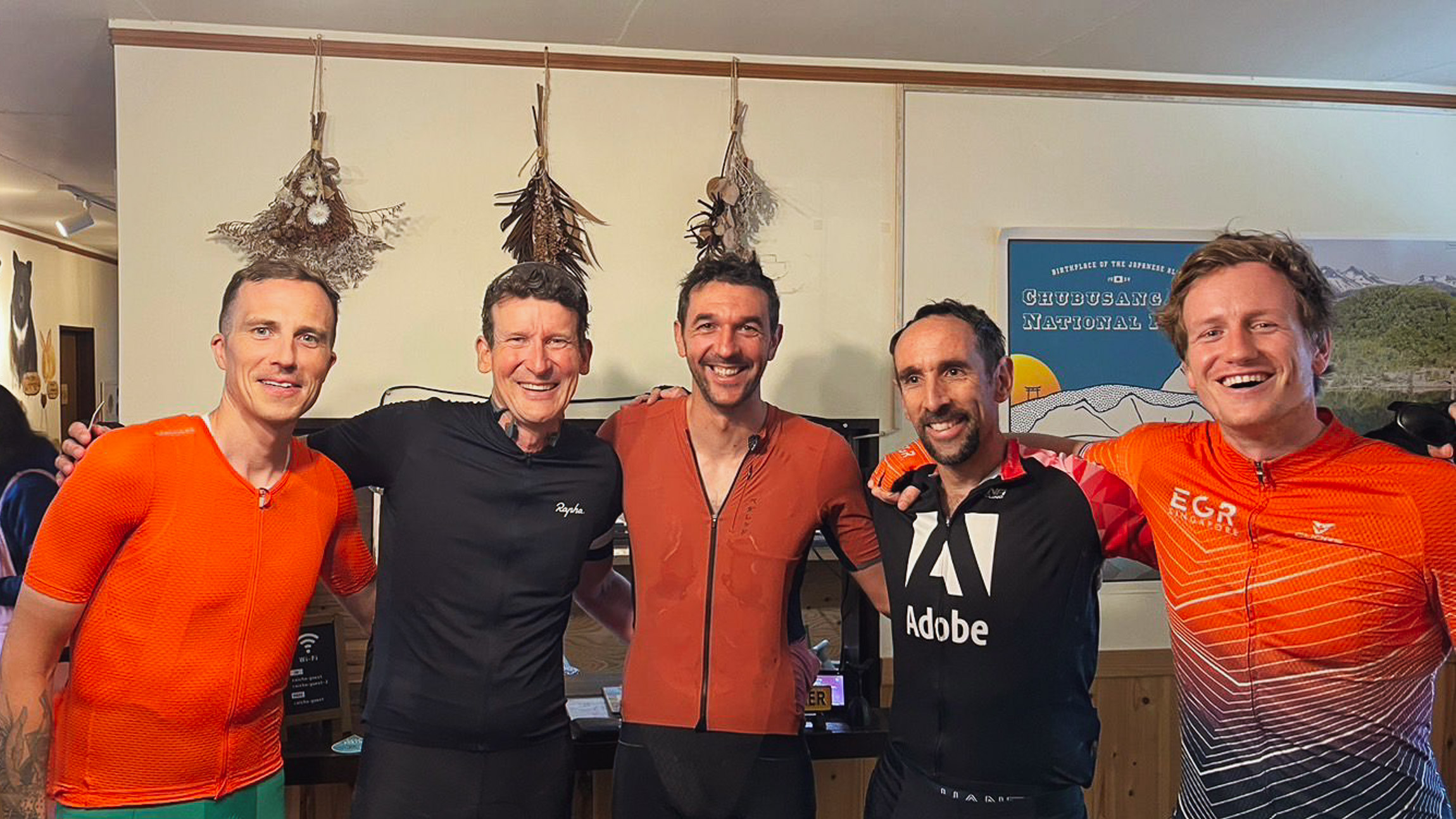
The last 8 km5 mi to Norikura Kōgen (松本市) featured a 5.5% climb with some steep portions at the end, not my favorite way to finish a long day. We said goodbye to Gerco and Thomas [fig 6], who headed back down to Matsumoto to catch a train to Tokyo.
We then checked in at the Raicho, a wonderful guesthouse located in the beautiful and naturally rich Norikura Plateau, at an altitude of 1,500 meters4,921 feet in Chūbu-Sangaku National Park (中部山岳国立公園, Chūbu Sangaku Kokuritsu Kōen), at the southern end of the Northern Alps.
We enjoyed the outdoor Onsen (hot-spring) with 100% natural spring water sourced from the oldest spring, Norikura Kogen Onsen, cloudy with a strong smell of sulfur and went to bed early after dinner at one of the few places open.
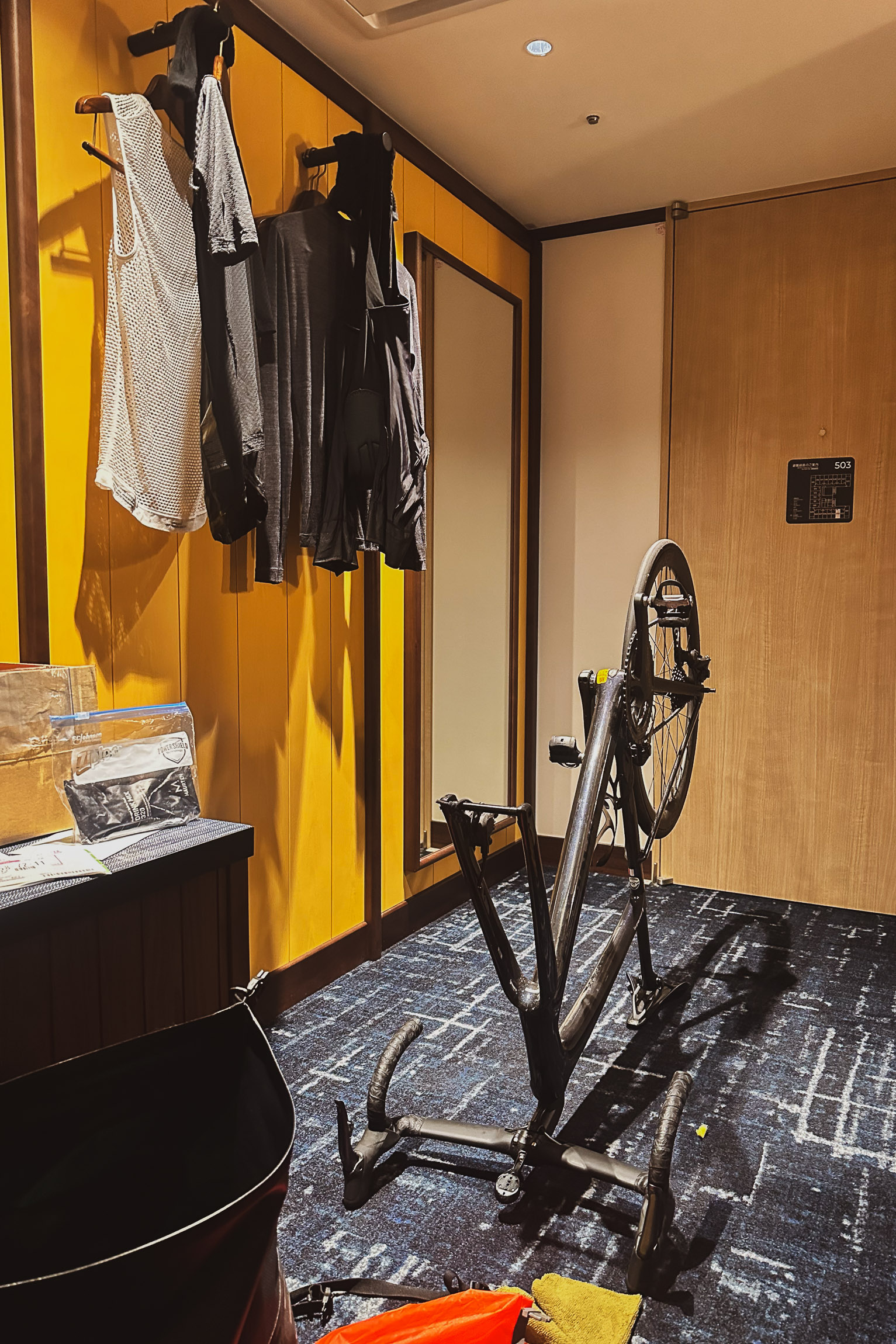
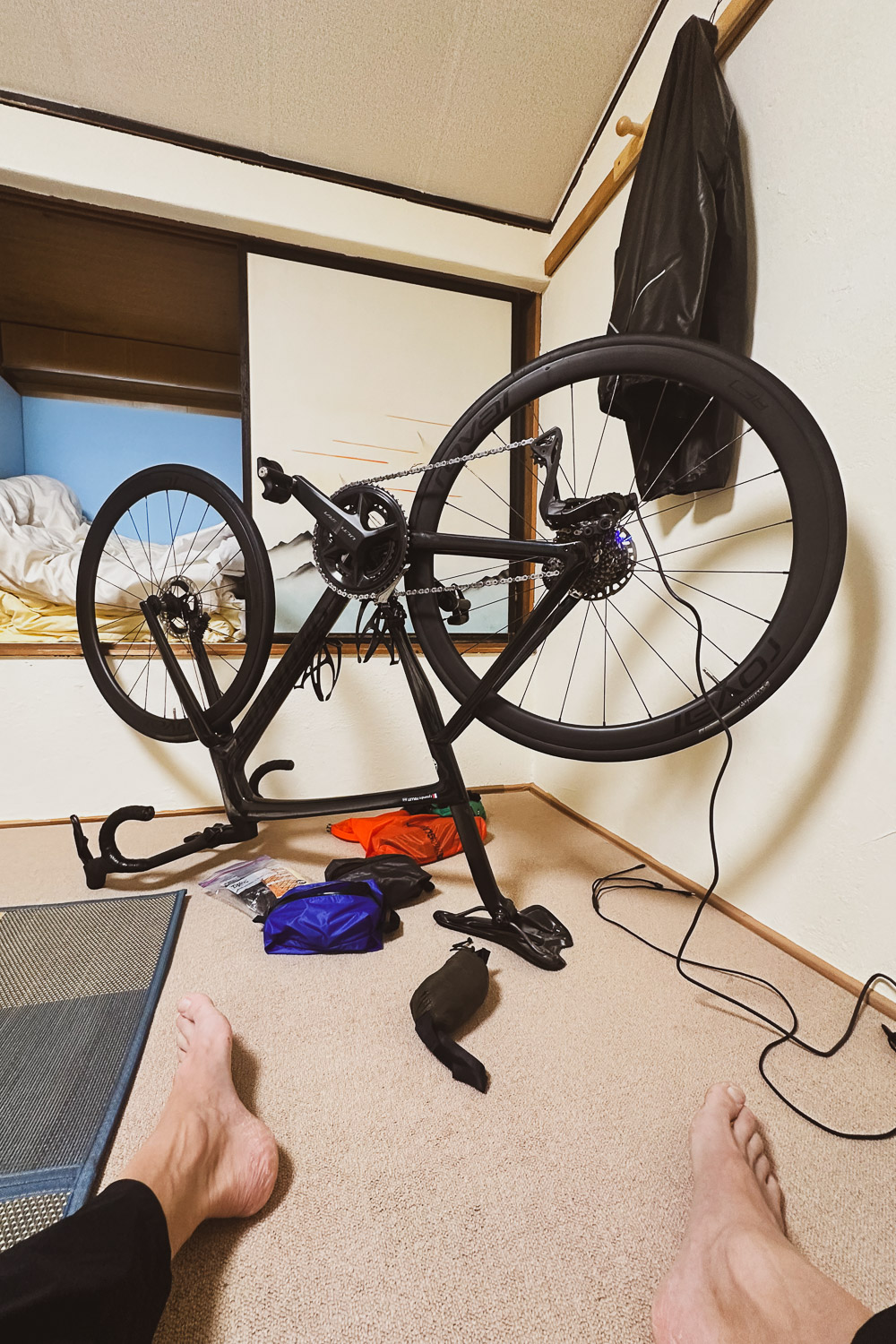
It was only day two, but I was already familiar with the routine: hand-washing clothes, meticulously checking the bike mechanics, charging all the devices, and planning for the next day—the one I was eagerly anticipating.
The climb of Mt. Norikura (乗鞍岳, Norikuradake), the third tallest volcano (stratovolcano) in Japan, via the famous Norikura Echoline, leading to the Norikura Skyline, the highest paved road in Japan at over 2,700 meters8,858 feet altitude.
I checked the weather forecast: a 40%-50% chance of rain with temperatures close to 0°C32°F at the top.
3 日目 10:07 am 05/27
111 km
69 mi
Distance
4:49:12
Moving Time
21.5 kph
13.4 mph
AVG Speed
2,436 M
7,992 FT
Elevation
11 °C
52 °F
AVG Temp
2,969 CAL
Calories
Link to Strava activity
Norikura Kōgen 松本市 -> Takayama 高山市
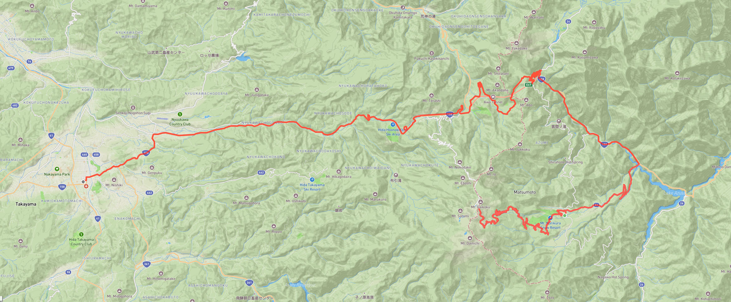
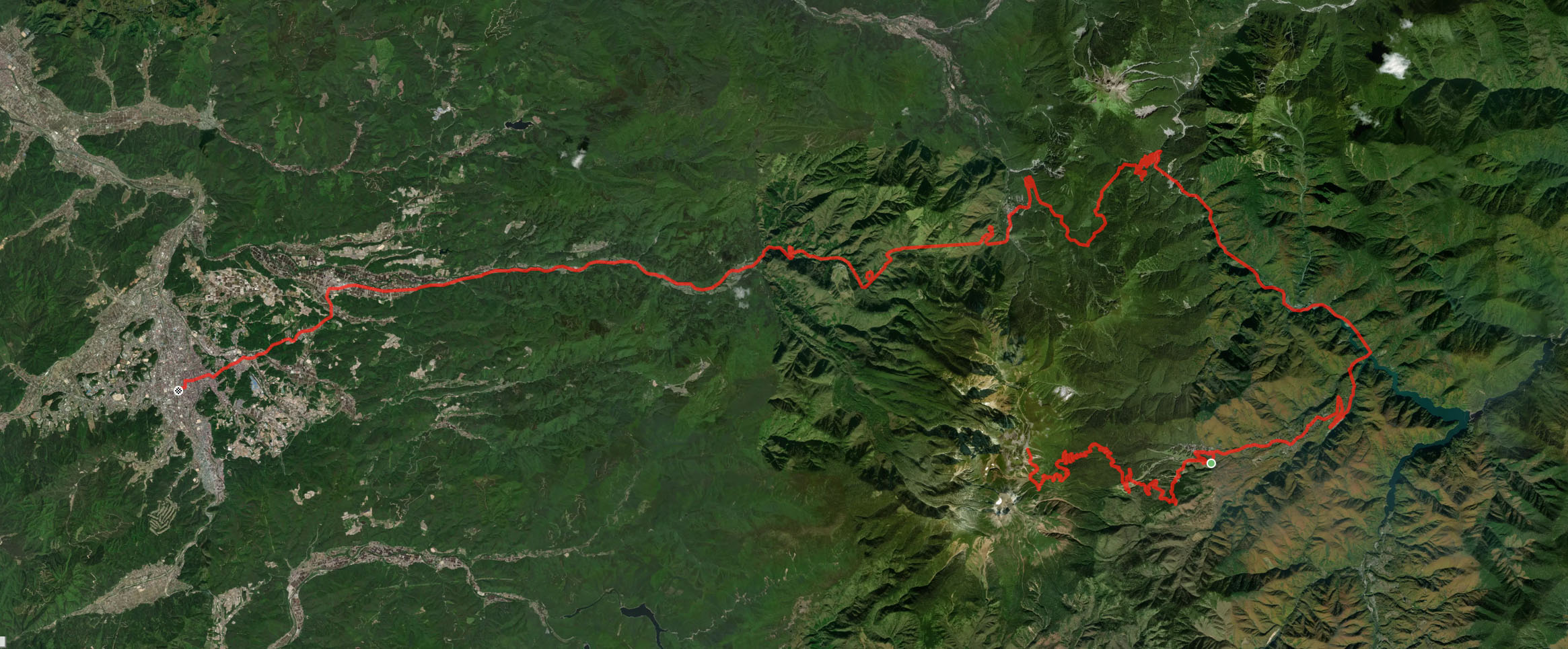
I woke up at 4:00 am on day three, my mind agitated. I really dislike cycling in the rain, and the thought of a long, technical descent on a wet road was daunting. I checked five different weather forecasts, realizing I had to be mentally prepared for a rainy and cold day. I proceeded with my drip bag coffee routine.
When planning this trip, we struggled to find up-to-date information about road closures due to winter, as they sometimes change and are often only available in Japanese. We read that the Norikura Skyline was open from May 15, but couldn't find much information about the Norikura Echoline on the Norikura Kōgen side. We asked the guesthouse owner, who wasn't sure either and looked at us as if to say, "It's raining out there, you really want to cycle up there?"
After breakfast, we packed up. I put on my Merino layer, beanies, and winter gloves, and we got on the road by 10:07 am.
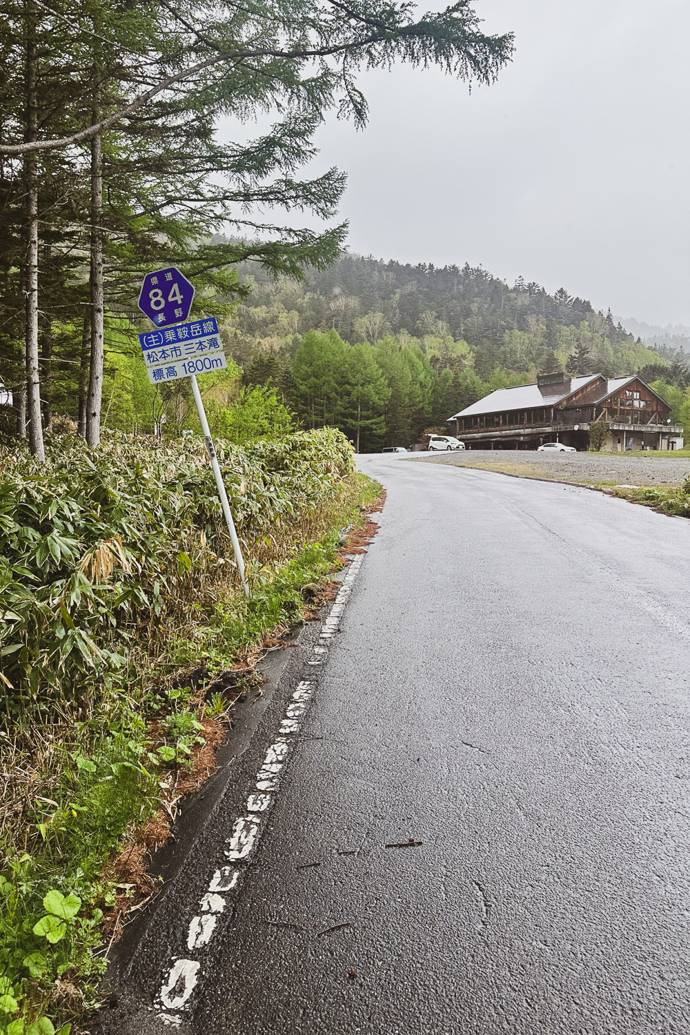
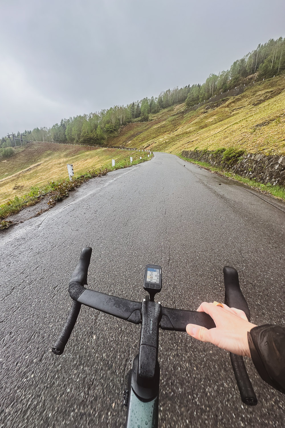
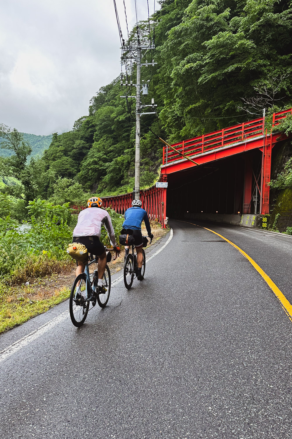
At the bottom of the Norikura Echoline [fig 1], the Sanbondaki gate was closed, open to buses but not yet to cyclists (after doing deeper research July 1 seams to be the date the Sanbondaki to Tatamidaira section open to cyclist). Since it was open to buses, we decided to proceed and started climbing [fig 2] the Norikura Echoline.
Five kilometersThree miles into the climb, I turned back and realized Arnout and Adrien had been stopped by a bus a few kilometers down. I paused for a while, then kept climbing until the bus caught up with me. The driver, very agitated, jumped out, and although we couldn't communicate due to the language barrier, it was clear he was upset that we were on the road despite the closure. Fair enough.
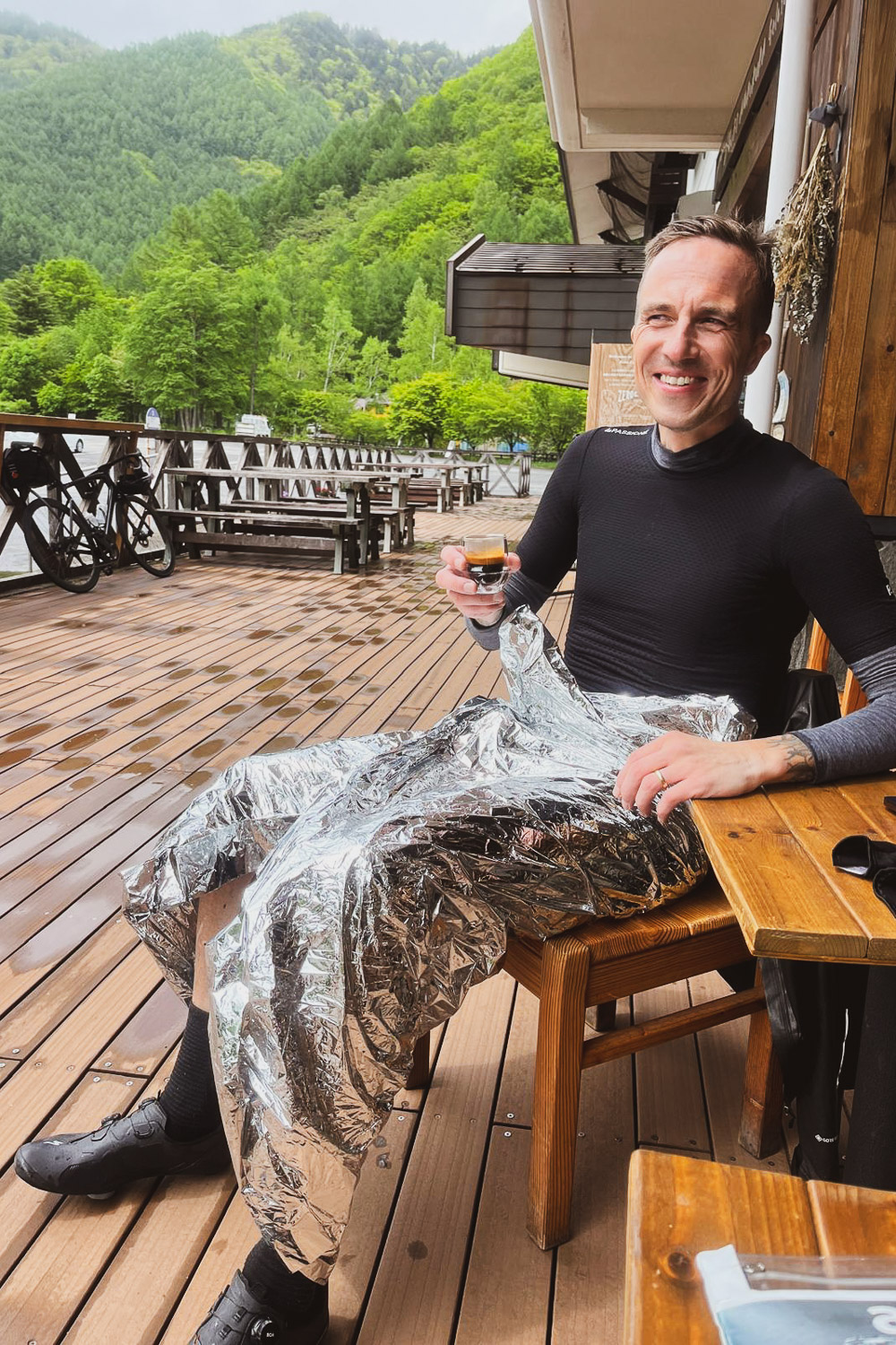
Shortly after the bus left, I stopped and called Arnout. He told me he was climbing up, but Adrien had decided to go back down and take a detour via Abo Pass (安房峠) to reach Takayama (高山市, Takayama-shi). I decided to wait for Arnout. As the rain intensified, I started getting cold quickly, so I wrapped myself in a survival mylar blanket and downed two Maurten Gel 100 at once.
This climb must be gorgeous on a clear day. It's a classic route with nice long switchbacks, a 18.4 km11.5 mi ascent at an average grade of 7.2%, and 1,342 meters4,403 feet of elevation gain.
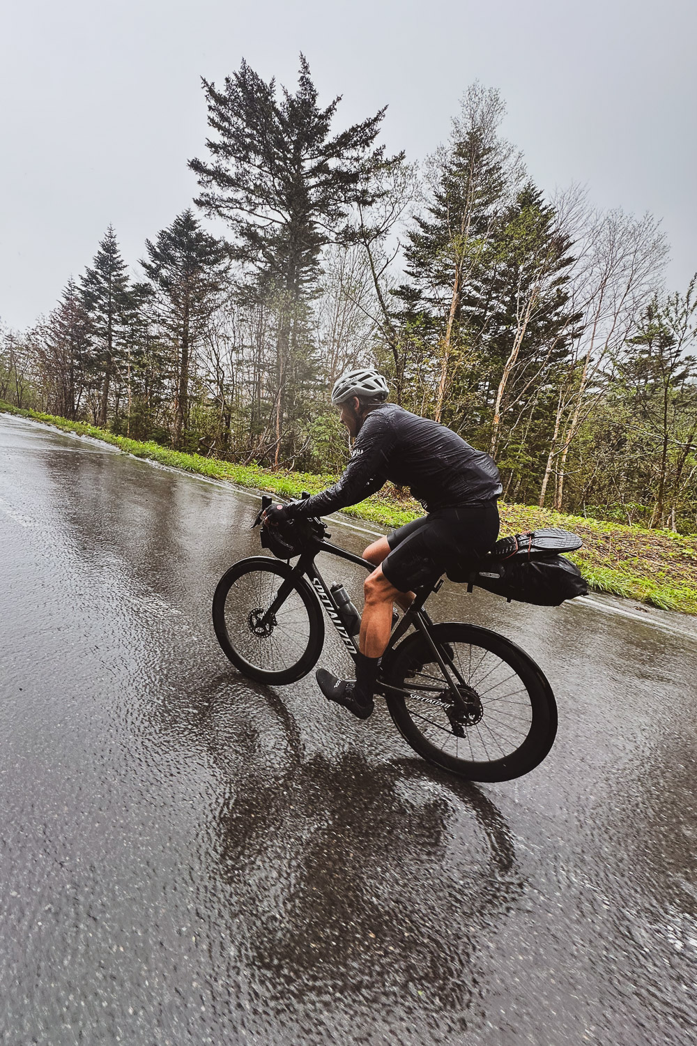
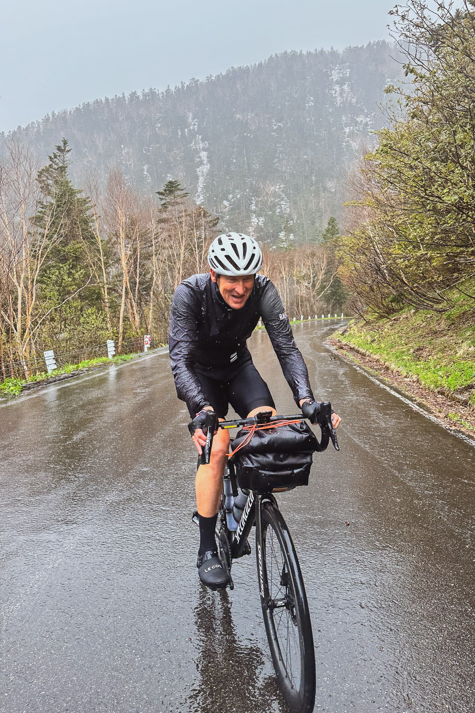
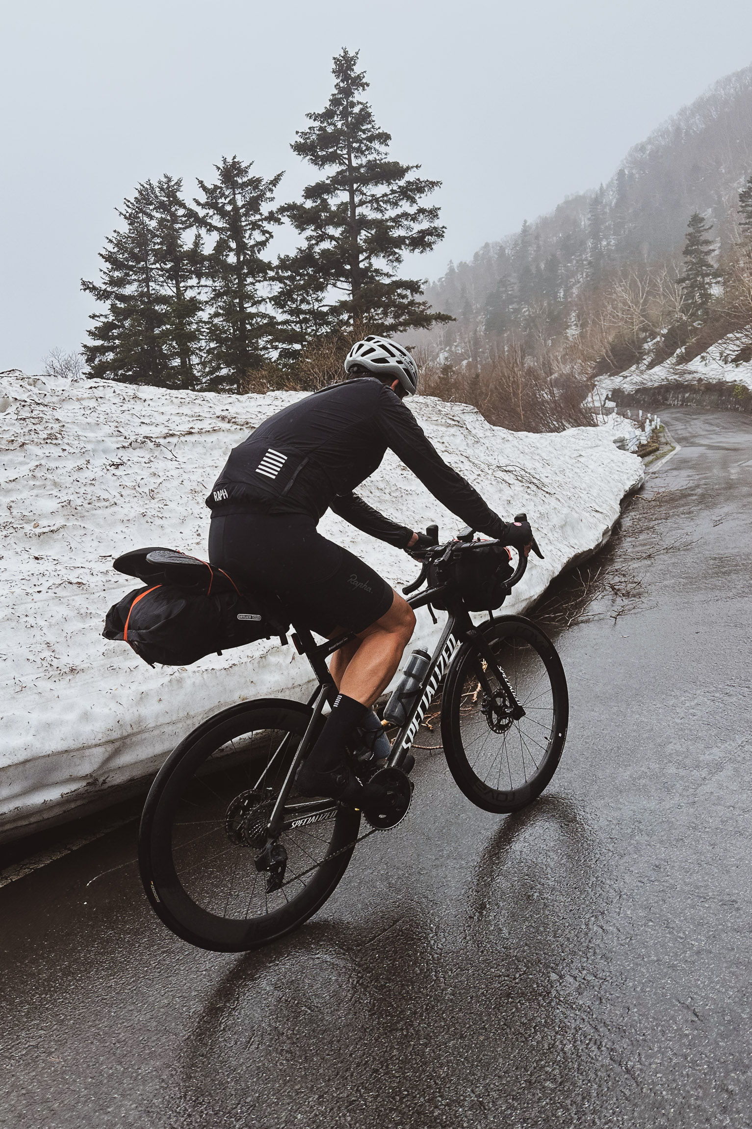
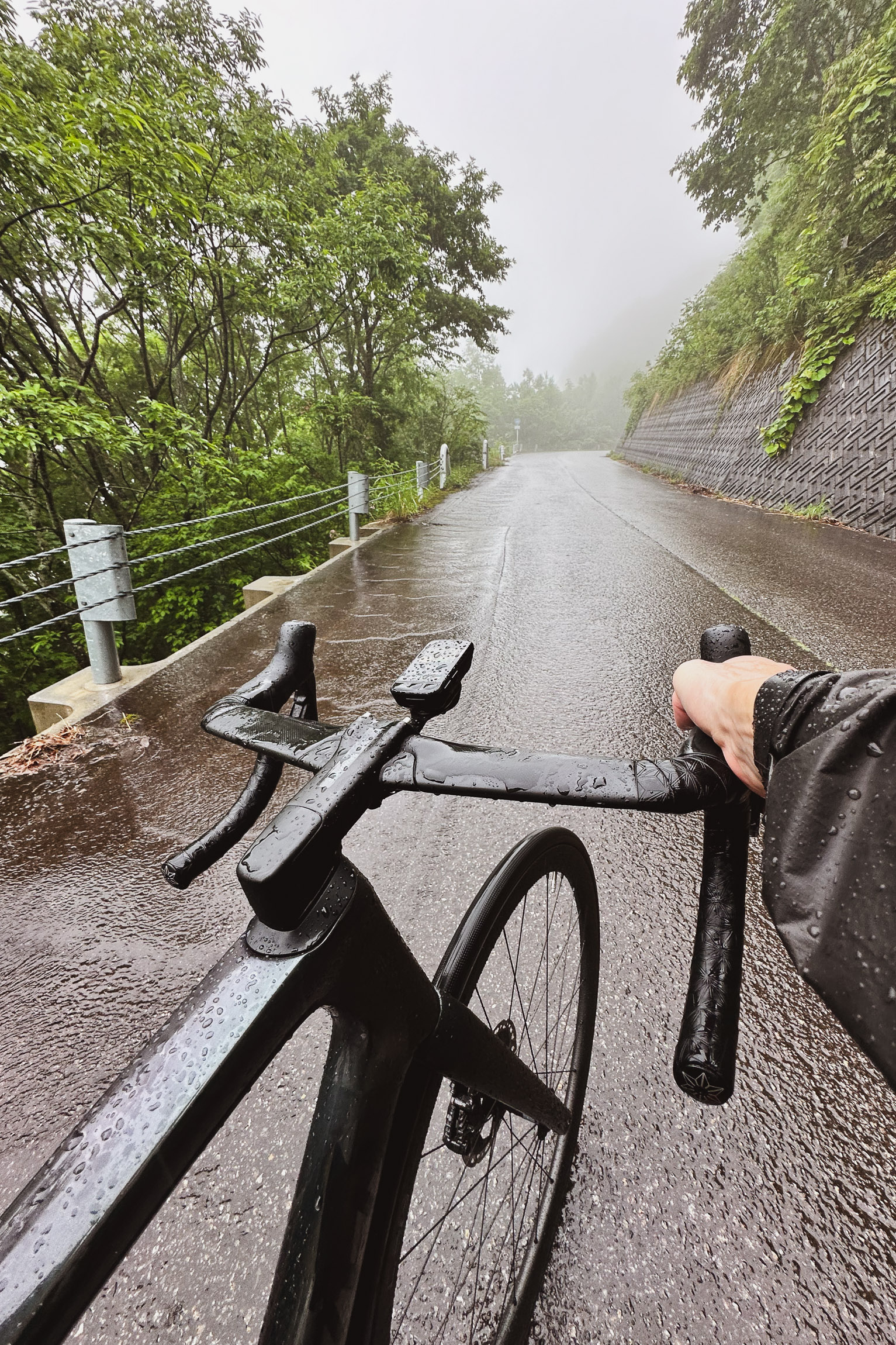
Very quickly, we started to see snow on the side of the road [fig 3], and I began to appreciate my Montbell GoreTex ShakeDry more and more [fig 4]. Despite being under the rain for over an hour, I was still dry.
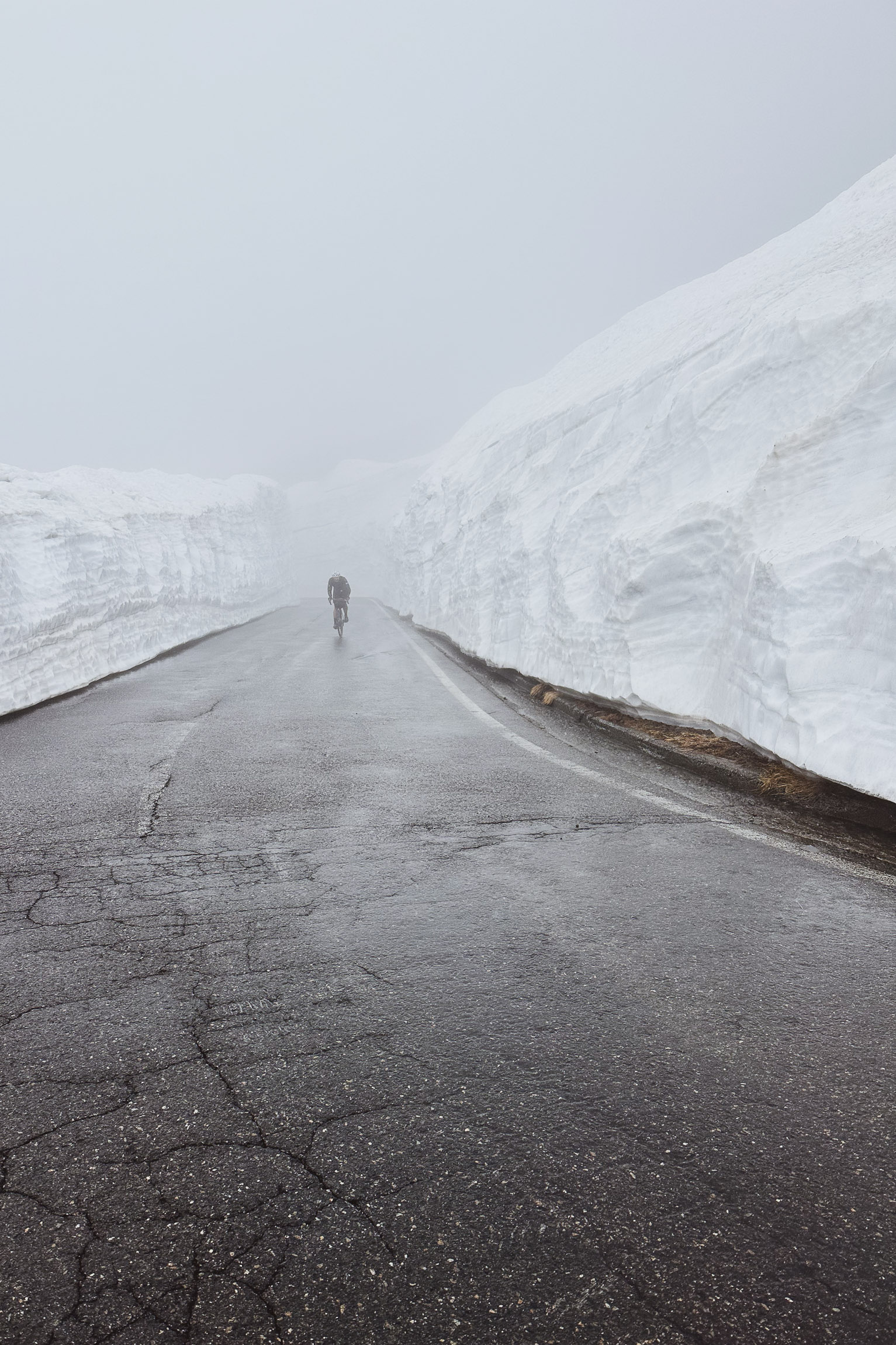
The atmosphere that day was hard to describe—it was surreal, quiet, and beautiful up there.
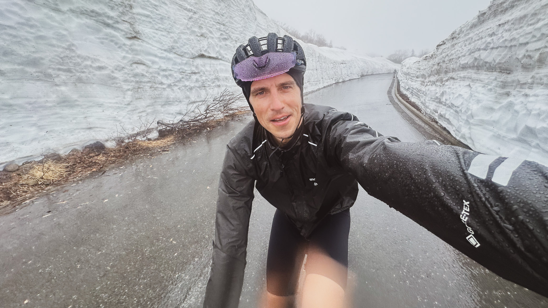
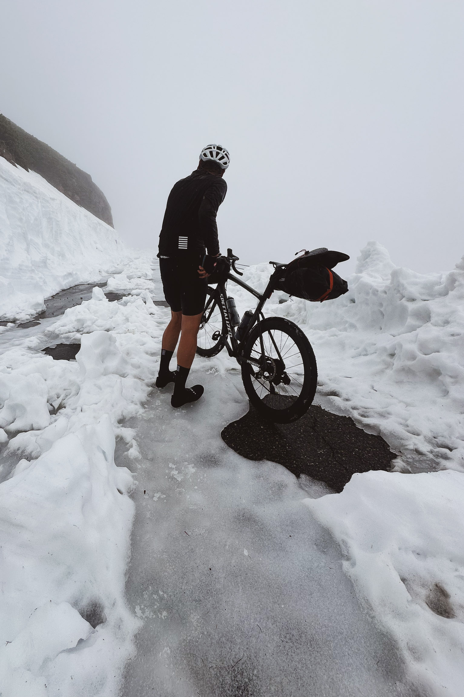
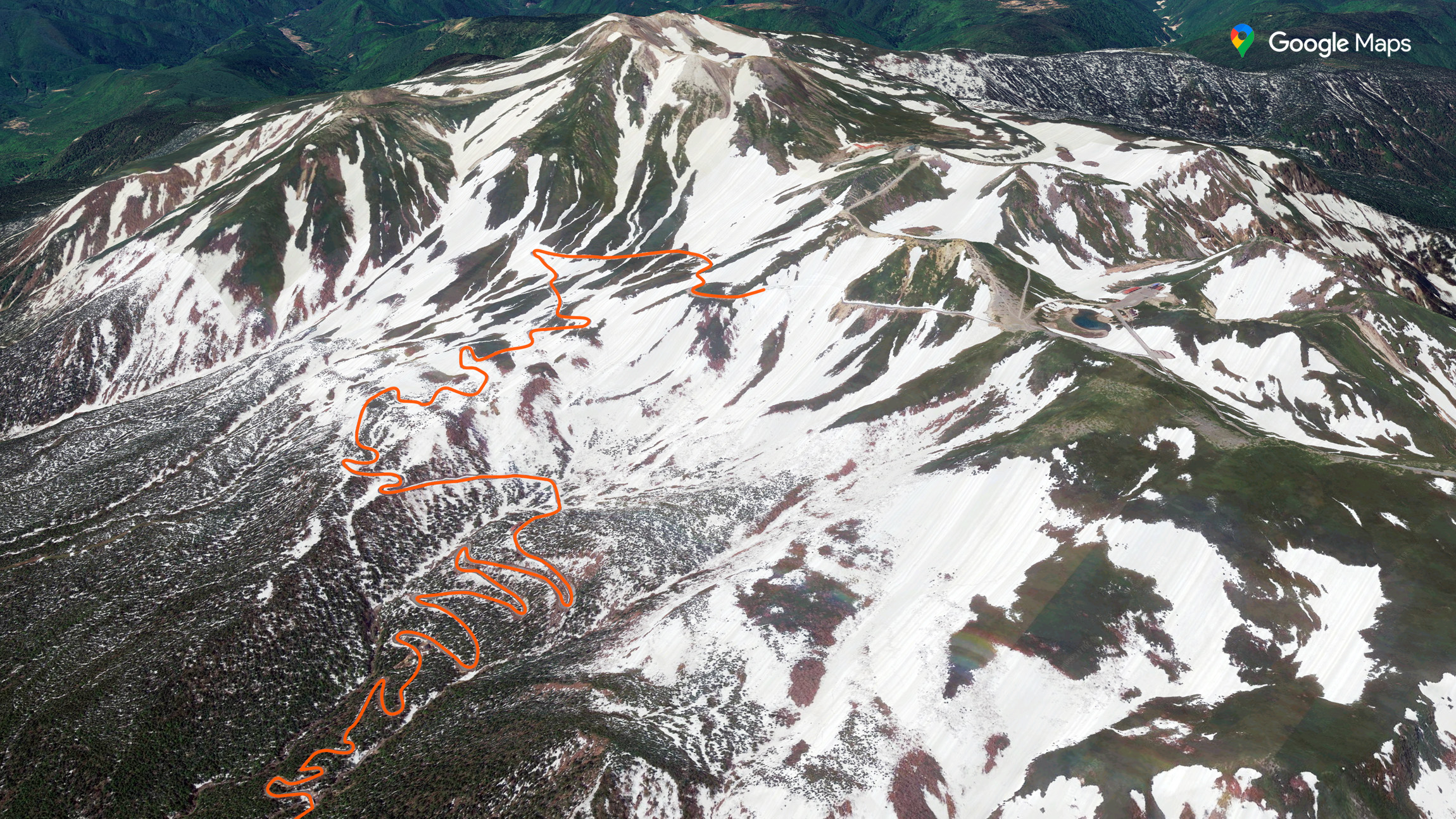
At 2,697 meters8,849 feet, about 50 meters164 feet from the top of the climb and the Tatamidaira parking lot, things became wild. We encountered big patches of snow and ice [fig 5] and strong wind, and a few meters later, the road was entirely blocked by snow.
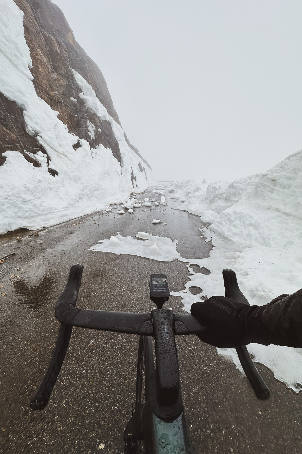
On [fig 6], you can actually see where we got stuck on Google Earth; it seems like that portion at the top always needs an extra month to clear out.
Making the decision not to proceed over the snow was easy. It looked unsafe, and we were both getting cold pretty quickly.
At that moment, we knew two things: firstly, we had to cover 25 km15.5 mi downhill back to Norikura Kōgen under freezing rain, and secondly, we had to take a detour around Mt. Norikura via Abo Pass. It was going to be a challenging day—from 70 km - 1,500 m elevation to 104 km - 2,436 m elevation43.5 mi - 4,921 ft elevation to 64.6 mi - 7,992 ft elevation.
I started shivering before even descending. I braced myself and told myself I didn't have any room for mistakes, so I needed to stay focused. And so, the 25 km15.5 mi descent began.
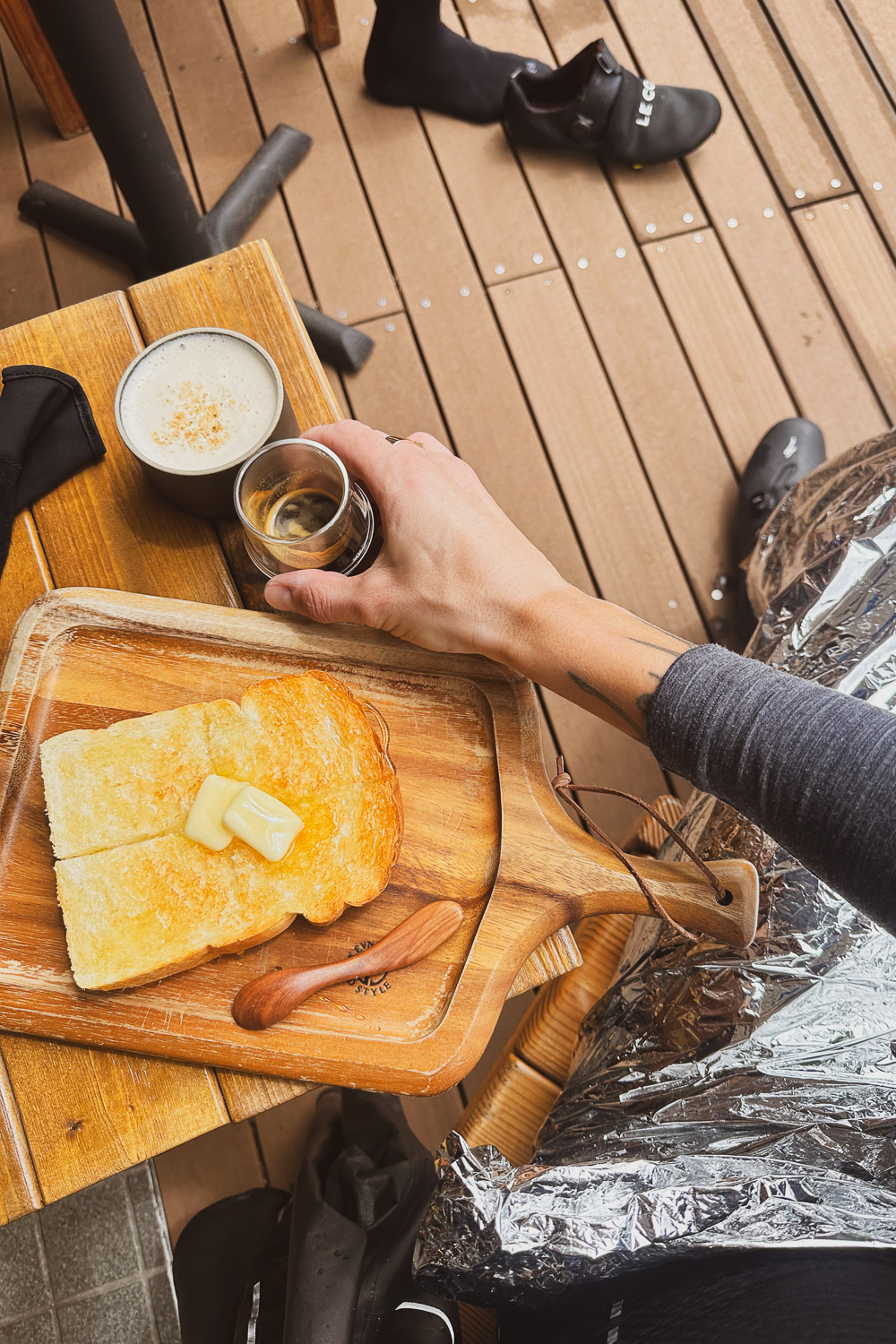
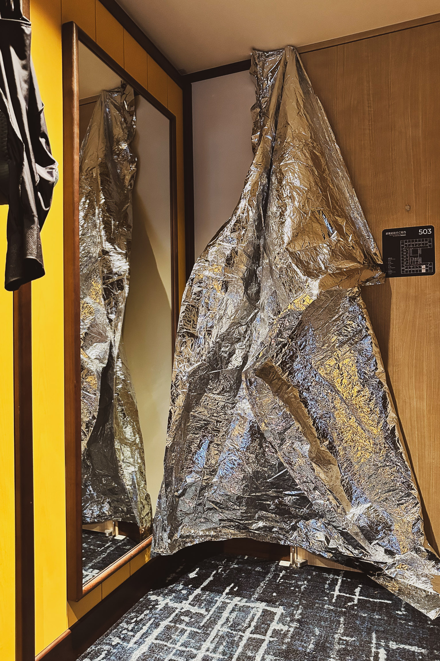
By the time we descended to Norikura Kogen, I was soaked through and frozen, stuck in an uncontrollable shivering loop. We stopped at the gift shop Norikura Gelato & Cafe, where I wrapped myself in the mylar blanket [fig 7 - by Arnout], ordered an espresso, and indulged in a magnificent Honey and Butter Toast [fig 8] in an attempt to warm up.
There wasn't much we could do about our condition; we were completely drenched and had to get back on the road. The waitress kindly gave us a hot towel, which felt heavenly, and as we bid farewell, she said, "Please come again and try the gelato next time."
Back on the road, still drenched.
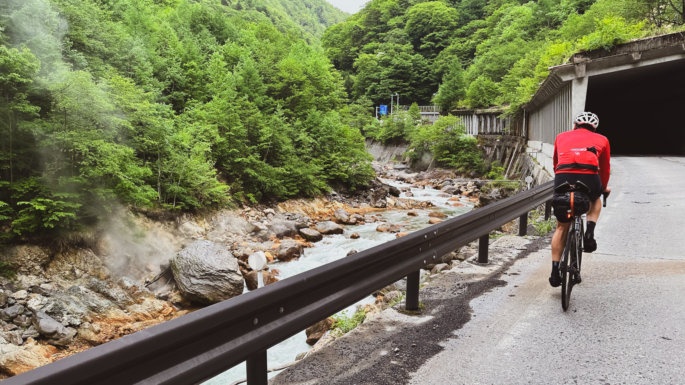
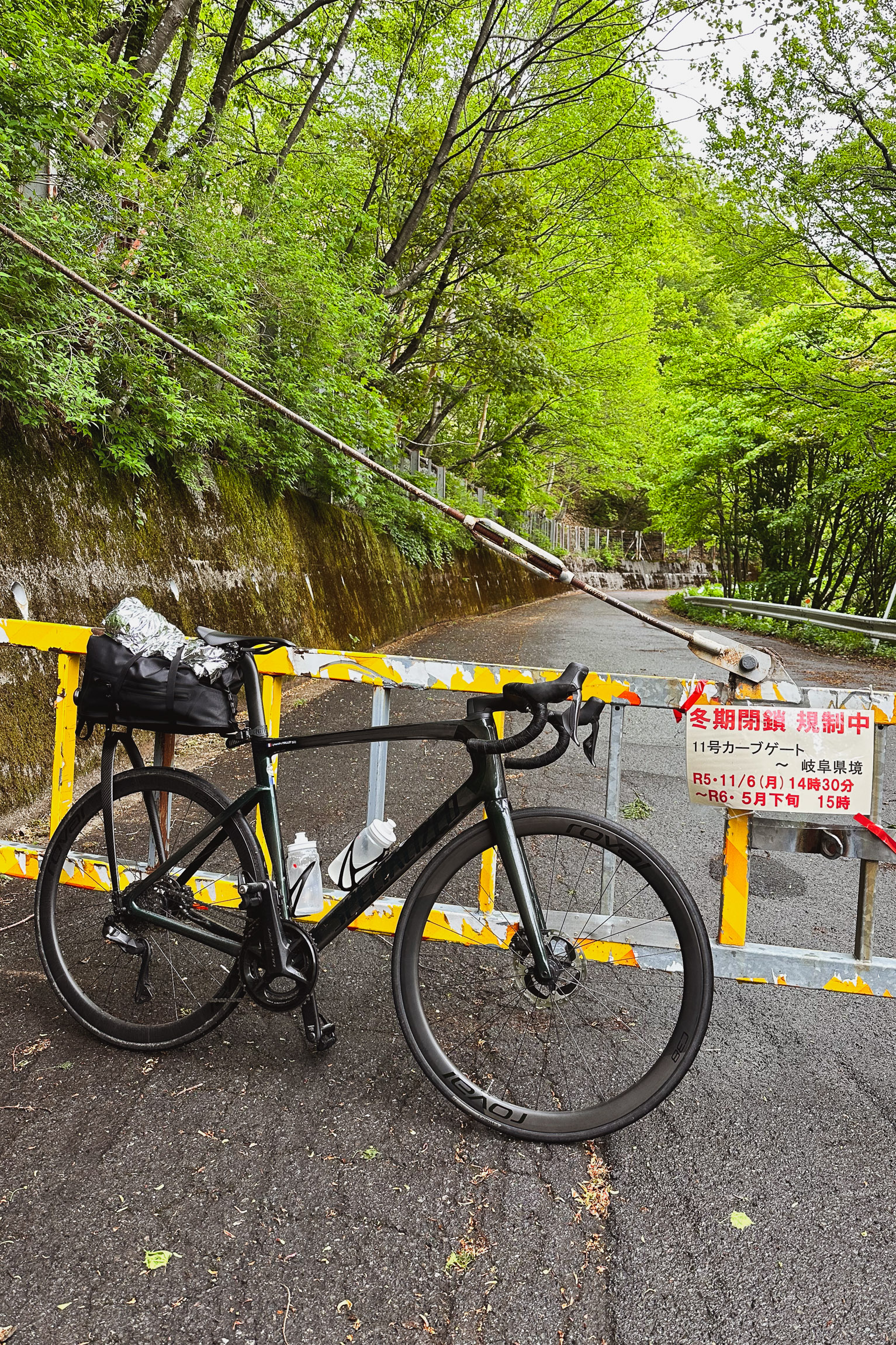
Once we reached the bottom of the Abo Toge / Abo Pass, a 7.15 km climb at an average of 5.7% and 407 m4.4 mi climb at an average of 5.7% and 1,335 ft of elevation gain. The gate was closed [fig 9]. With no other option to reach Takayama, as parts of Route 158 from Takayama to Kamikochi is closed to bicycles (Abo-Toge toll road, a 4.5-kilometer2.8-miles Tunnel), we once again went over the gate and began climbing, to reach the top at an altitude of 1,800 meters5,905 feet [fig 10].
The rest of the day was spent trying to stay focused on pushing ourselves to reach Takayama. Fortunately, the rain stopped, and the last 20 km12.4 mi were all downhill. Averaging 45 kph for 20 km28 mph for 12.4 mi felt good to finish the day.
We reunited with Adrien, devoured about six pizzas at the hotel, and called it a day.
What a day it was—lifetime memories forged with Arnout at 2,697 m8,849 ft!
4 日目 8:09 am 05/28
104 km
64.7 mi
Distance
4:23:30
Moving Time
23.7 kph
14.7 mph
AVG Speed
1,684 M
5,525 ft
Elevation
11 °C
52 °F
AVG Temp
2,767 CAL
Calories
Link to Strava activity
Takayama 高山市 -> Gujō 郡上市
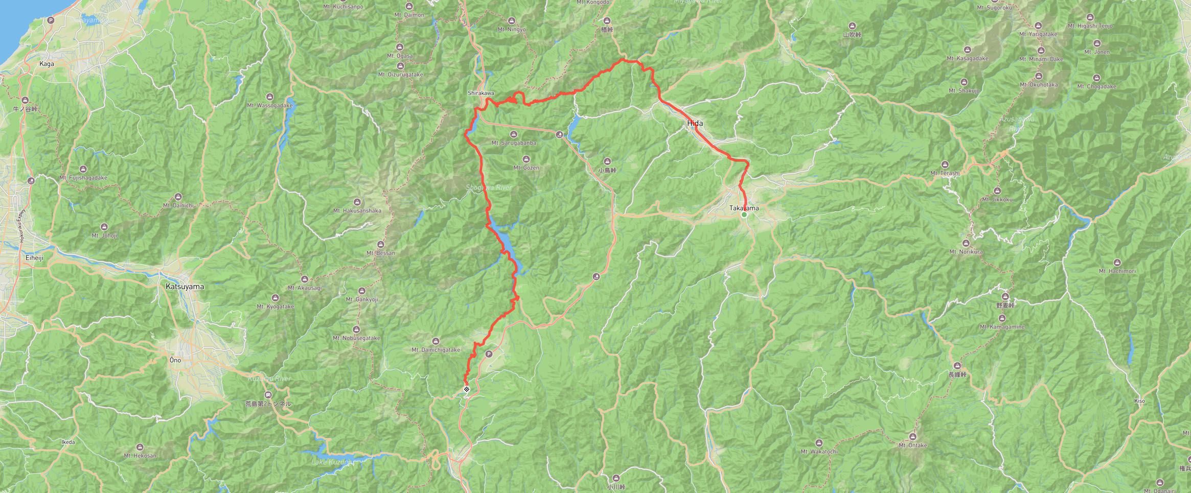
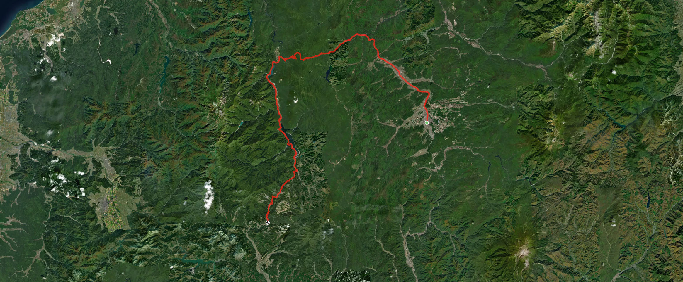
I woke up at 4:30 am, feeling it was way too early. Before going to bed, I had checked the weather forecast, which predicted 100% torrential rain with over 146 mm5.7 in of rain expected over 24 hours.
Opening the curtains, I sipped my coffee while looking out through the windows [fig 2]. It was gnarly out there.
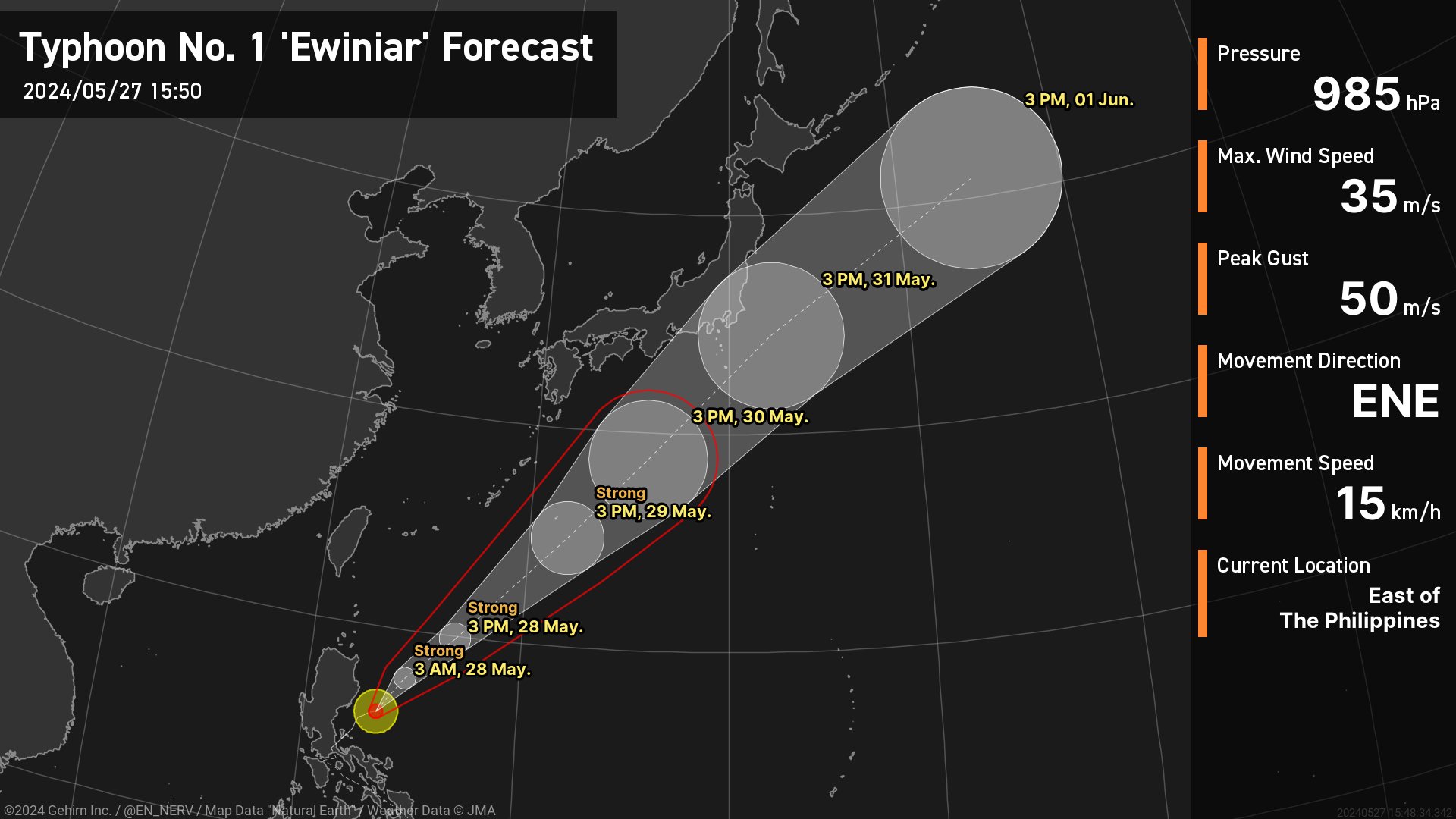
The first named storm and typhoon of the 2024 Pacific typhoon season, Ewiniar [fig 1], had emerged from an area of atmospheric convection 441 km274 mi southeast of Palau a day before, bringing torrential rain to the area.
I spent about an hour examining all the weather forecasts I could find. The temperature looked good, with not too much wind, but heavy rain was forecasted all day. I decided I was ready for it.
I headed to the Onsen at 6:00 am and then had breakfast at 7:00 am with Arnout and Adrien. They both decided to take the train to Gujō (郡上市), while I contemplated my orange juice and decided I felt really strong physically and mentally, so I was going to go for it.
By 8:00 am, I was checking out, bidding farewell to my friends, and hitting the road, solo.
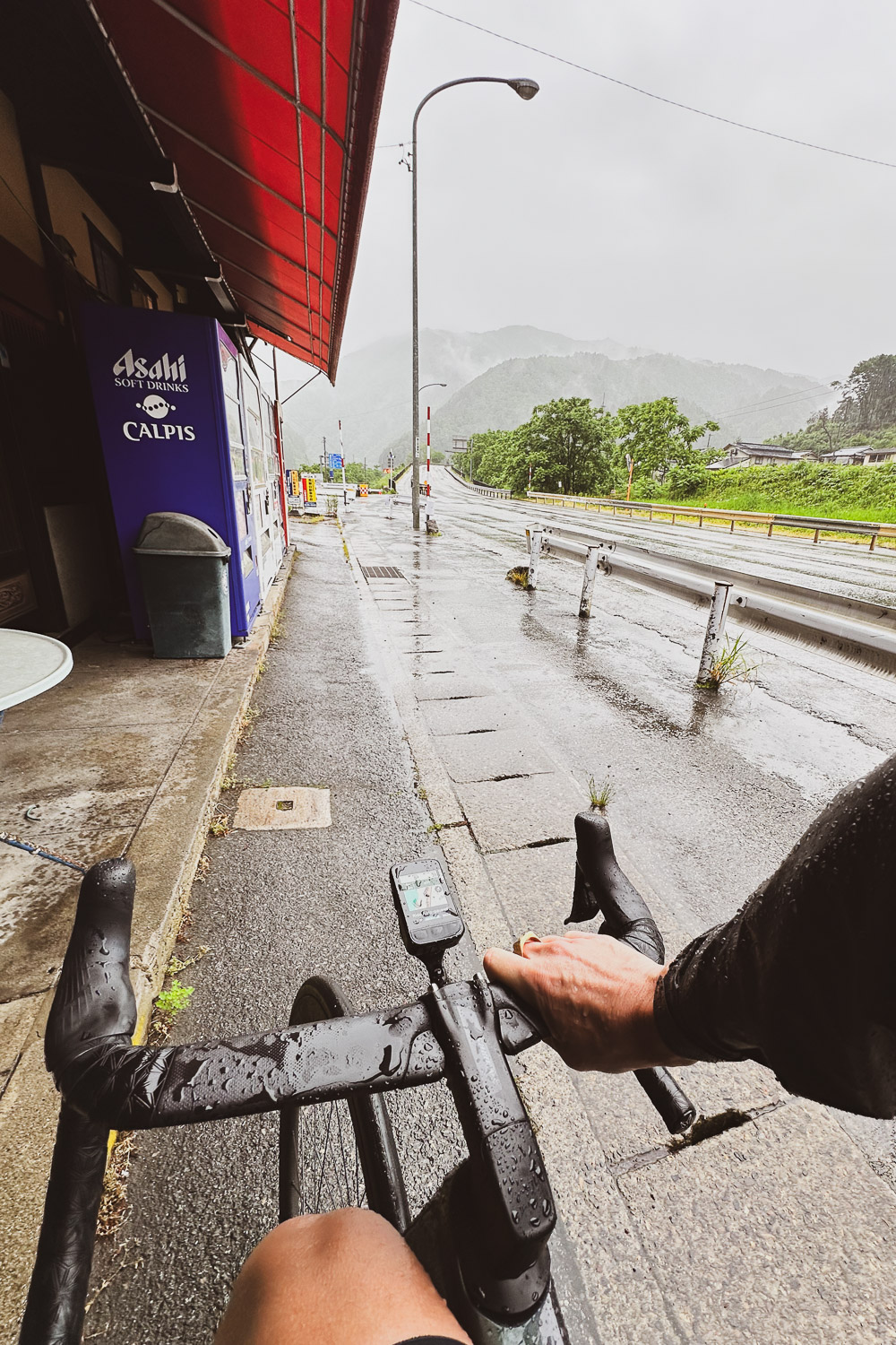
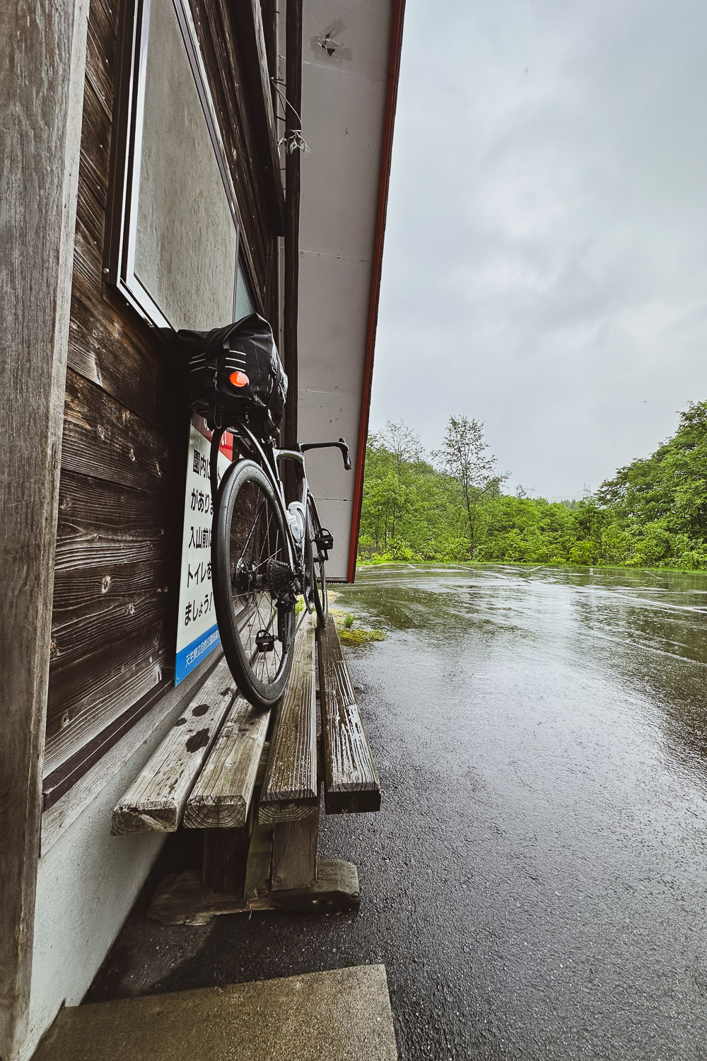
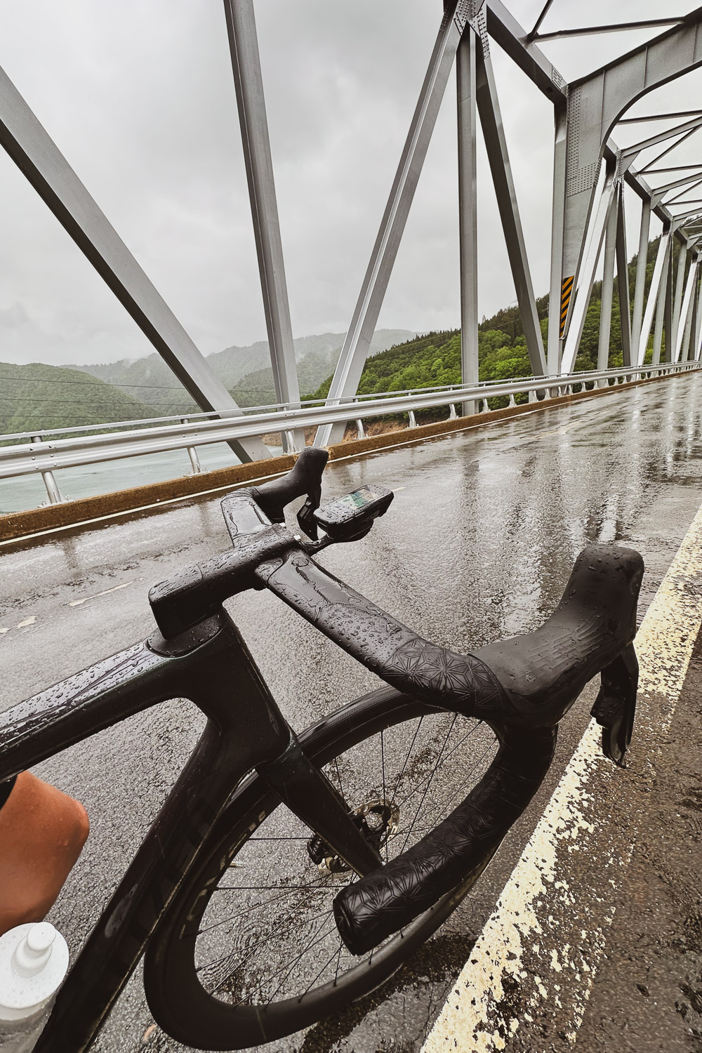
Just 500 meters1,640 feet from the hotel, I was already soaked [fig 3]. I knew I had to accept that the conditions were going to be miserable for the rest of the day, but I also realized that I was in control of how I could transform the pounding rain into a meditation—a long and lonely meditation.
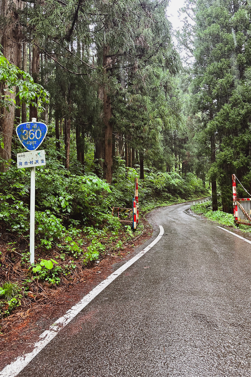
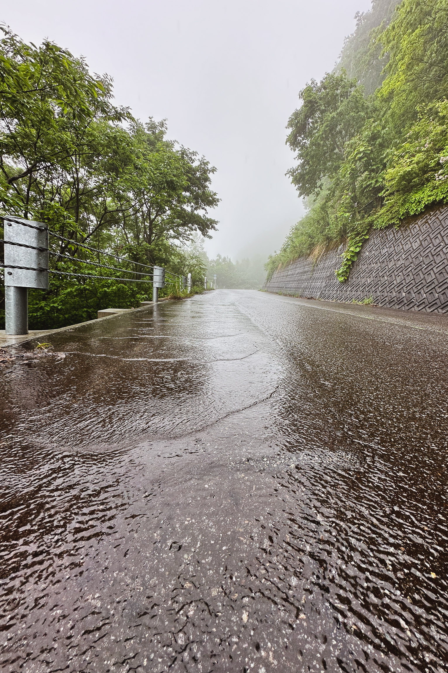
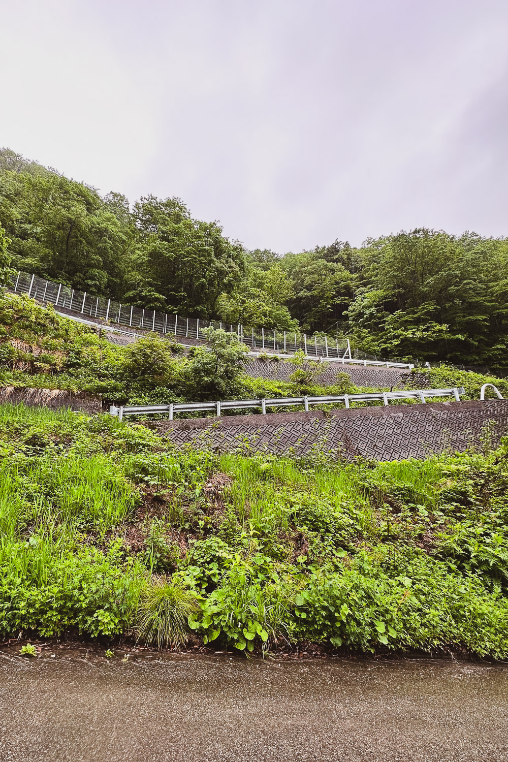
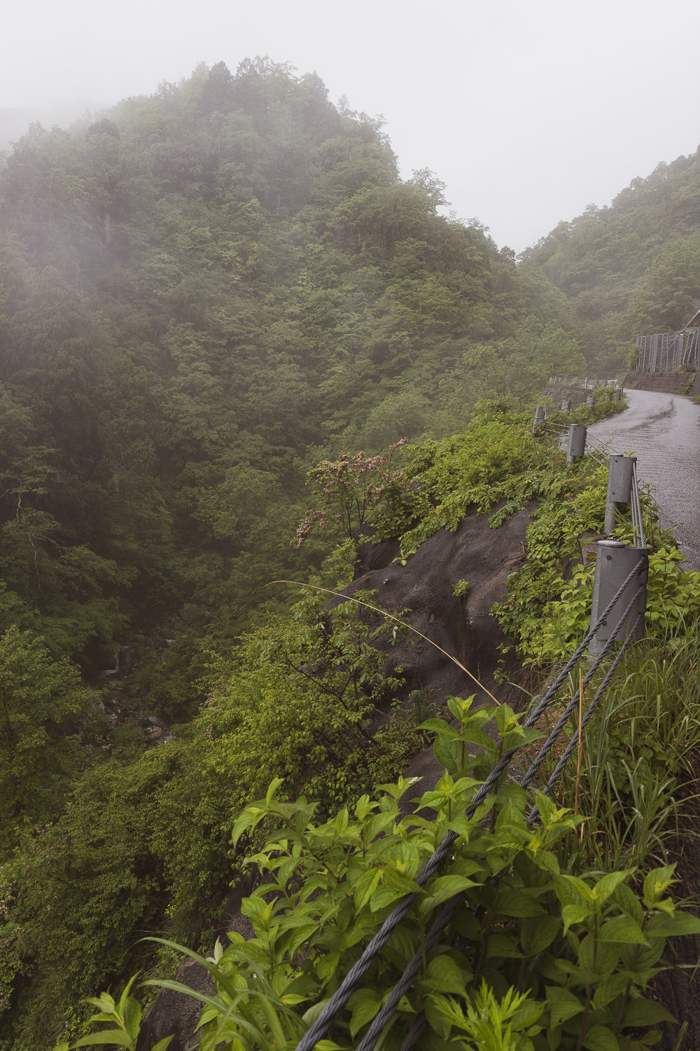
To my surprise, when I reached the bottom of Amou Pass (天生峠) on Road 360, the gate was open [fig 4]. Amou Pass is a marvel of road engineering [fig 6], a 9.73 km climb at an average gradient of 7.3% and an elevation gain of 710 meters6 mi climb at an average gradient of 7.3% and an elevation gain of 2,330 ft. As I ascended, the road started to resemble a river [fig 5]. Approaching the top, I felt like I was traversing a cloud.
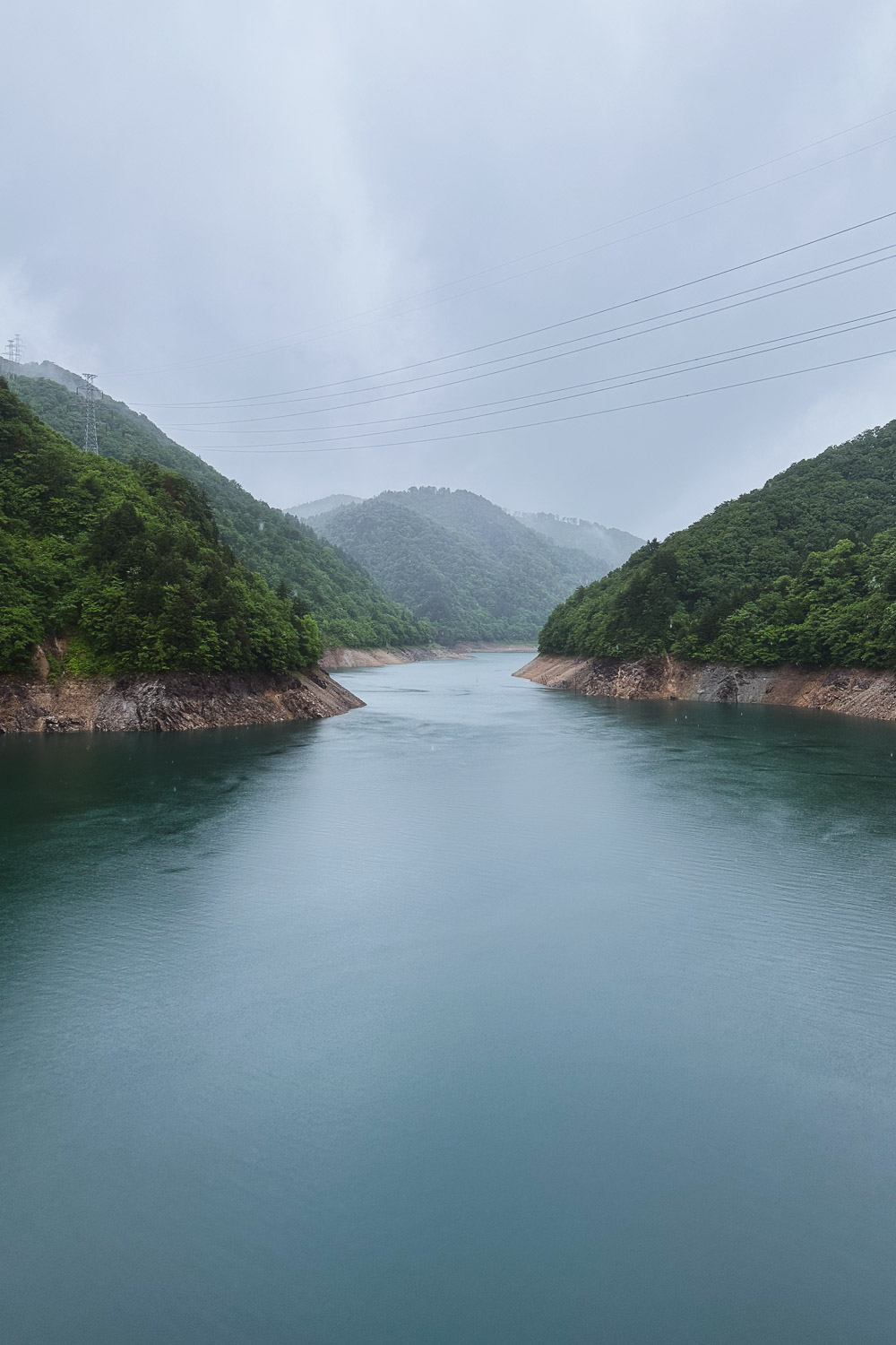
Once at the top of Amou pass at 1,294 meters4,246 feet above sea level, I briefly stopped [fig 7], started to feel the chill in the air, and quickly got back on the road. I knew the descent to Shirakawa (白川村, Shirakawa-mura) was going to be challenging and technical due to the torrential rain.
The condition of the road was extreme; it felt more like rafting than cycling.
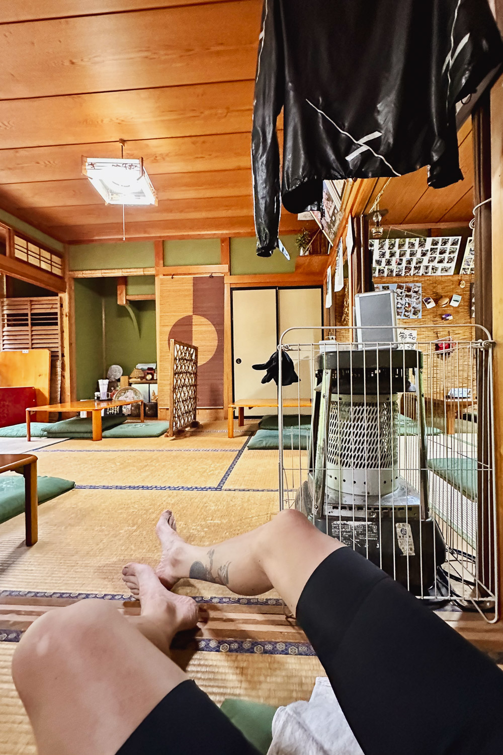
As I entered Shirakawa-gō, I found myself once again trapped in a shivering loop, unable to continue. Luckily, I stumbled upon a restaurant called Hiiragi where the owner, upon seeing my condition, immediately invited me in. He brought towels, and I quickly removed my shoes, socks, and rain jacket before entering the establishment.
The owner promptly turned on the gas stove, and by the time I entered the tatami room, he had already hung my jacket and socks over the stove [fig 8].
Shivering so intensely that I couldn't even hold the cup of hot tea they served me, I had no idea what kind of food they offered. It turned out to be a place specializing in Hida beef "Hida-gyu", specific name given to beef from a black-haired Japanese cattle breed, that has been raised in Gifu Prefecture for at least 14 months.
I ordered the Kalbi bowl, a mix of Hida beef A4-A5 grade, known as one of the finest quality varieties of beef, meets every standard, and is of the highest quality in marbling, luster, color, texture and smell served over rice [fig 9], and it was absolutely delicious.
As I gradually warmed up, I knew it was time to leave.
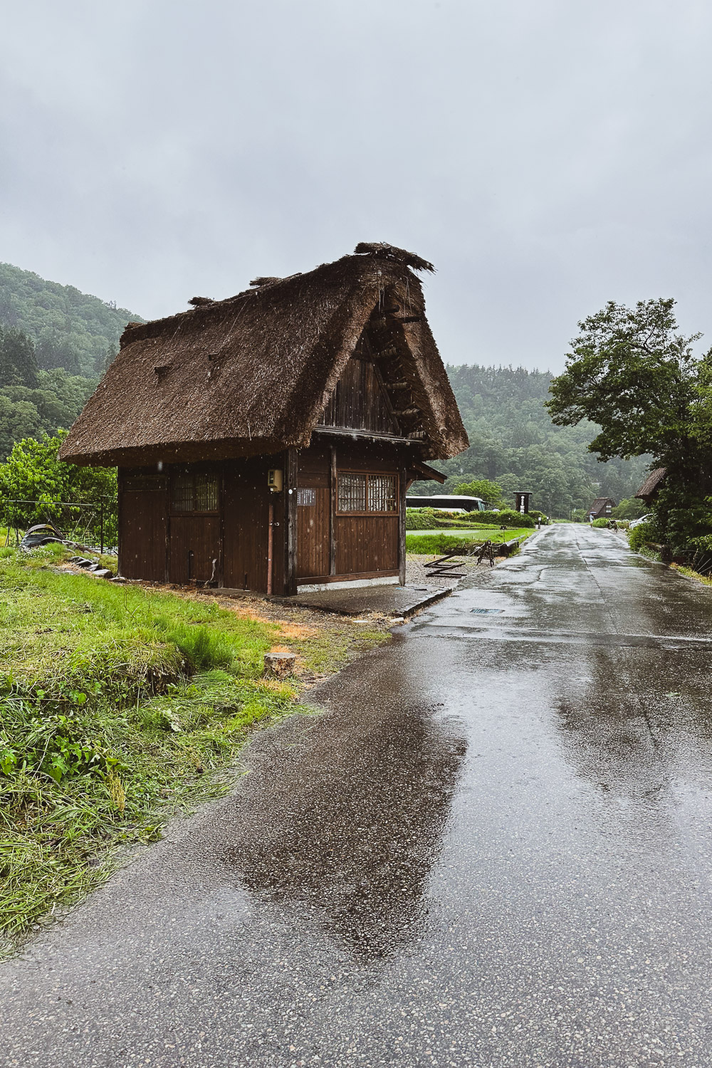
Shirakawa-gō is a quaint, traditional village in the remote Shogawa river valley renowned for its distinctive architectural style known as gasshō-zukuri (合掌造) [fig 10]. Alongside Gokayama in Nanto, Toyama, it is recognized as one of UNESCO's World Heritage Sites.
As I navigated the main street of Shirakawa-gō, it was flooded with tourists donning ponchos and struggling to take selfies while holding umbrellas. They seemed to be the only people I encountered outside for the entire day.
The remainder of the journey to Gujō 郡上市 was dominated by a focus on the main road, with me bracing myself every time a large truck passed, creating a powerful wave that hit me.
At one point, I became unduly concerned about my electronic Di2 shifting, fearing it might malfunction under the deluge of water. I couldn't help but wonder how it would endure the upcoming climbs.
Upon arriving in Gujō 郡上市, I found the conditions to be wild; the rivers were swollen and forceful. As I meticulously cleaned my bike and oiled the chain [fig 11], I realized that this had been a truly special day—perhaps my favorite in retrospect.
It's difficult to articulate; the rain was relentless, and I had never before experienced such an intense pounding from the elements in the heart of nature. It was a truly magical experience. [Watch the video bellow with sound-on]
From 2016 to 2020, I dedicated over 20 hours a week to practicing yoga in a studio. My favorite class was the Sunday evening Yoga Nidra (Sanskrit: योग निद्रा, romanized: yoga nidrā), also known as yogic sleep—a state of consciousness between waking and sleeping, typically induced by guided meditation.
Throughout the entire day, I repeated a mantra taught to me by my friend and Yoga Nidra teacher, Tony: "I'm here, I'm here now." Tony, thank you. Getting into a meditative state of mind was the only way I could endure being out there on that challenging day.
5 日目 8:30 am 05/29
152 km
94.4 mi
Distance
4:38:49
Moving Time
31.0 kph
19.3 mph
AVG Speed
1,148 M
3,766.4 ft
Elevation
16 °C
61 °F
AVG Temp
3,379 CAL
Calories
Link to Strava activity
Gujō 郡上市 -> Tsuruga 敦賀市
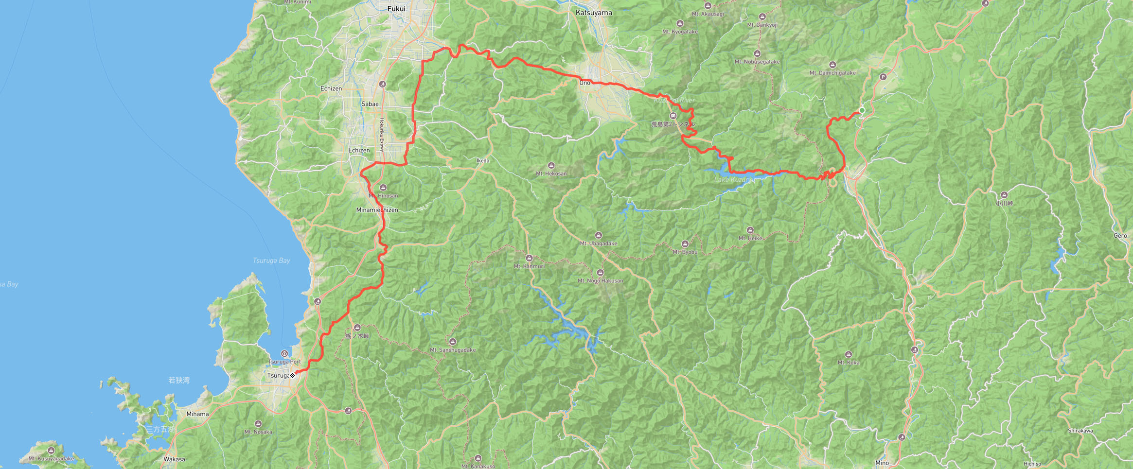
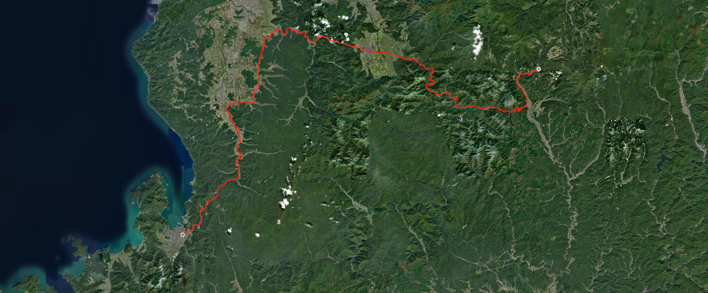
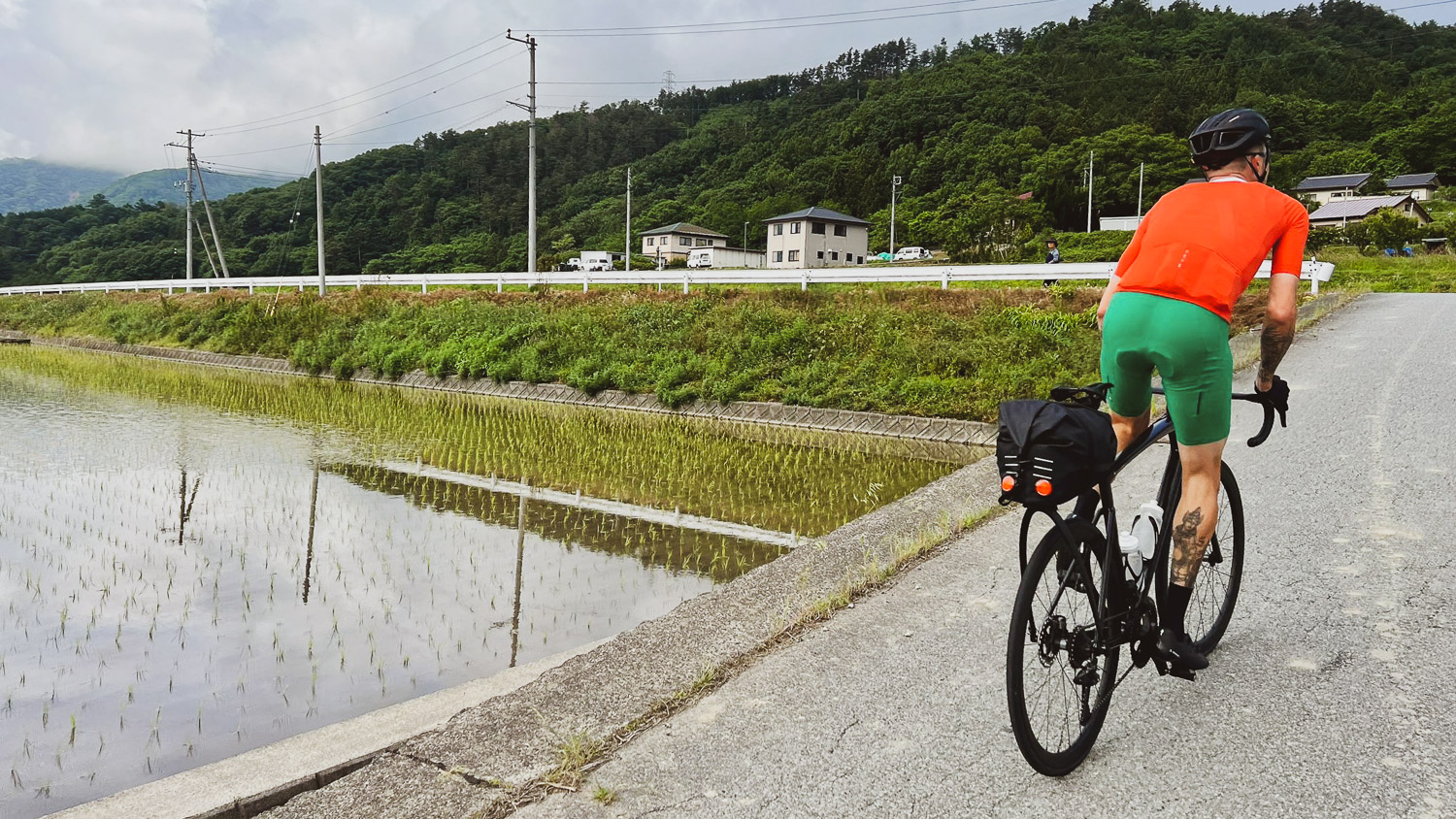
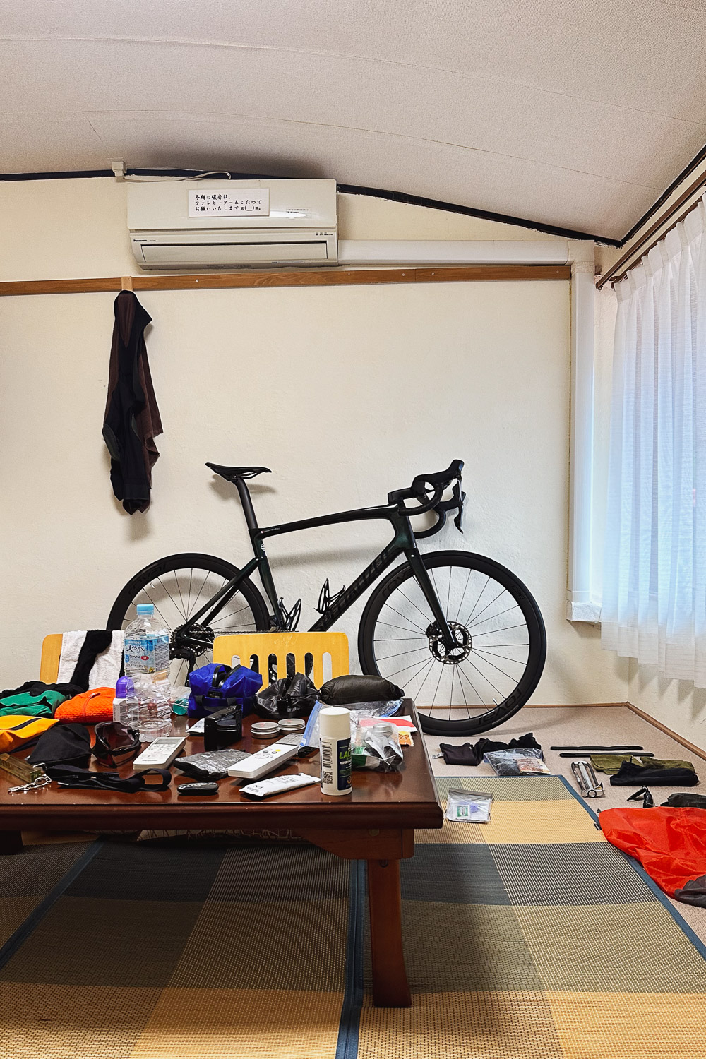
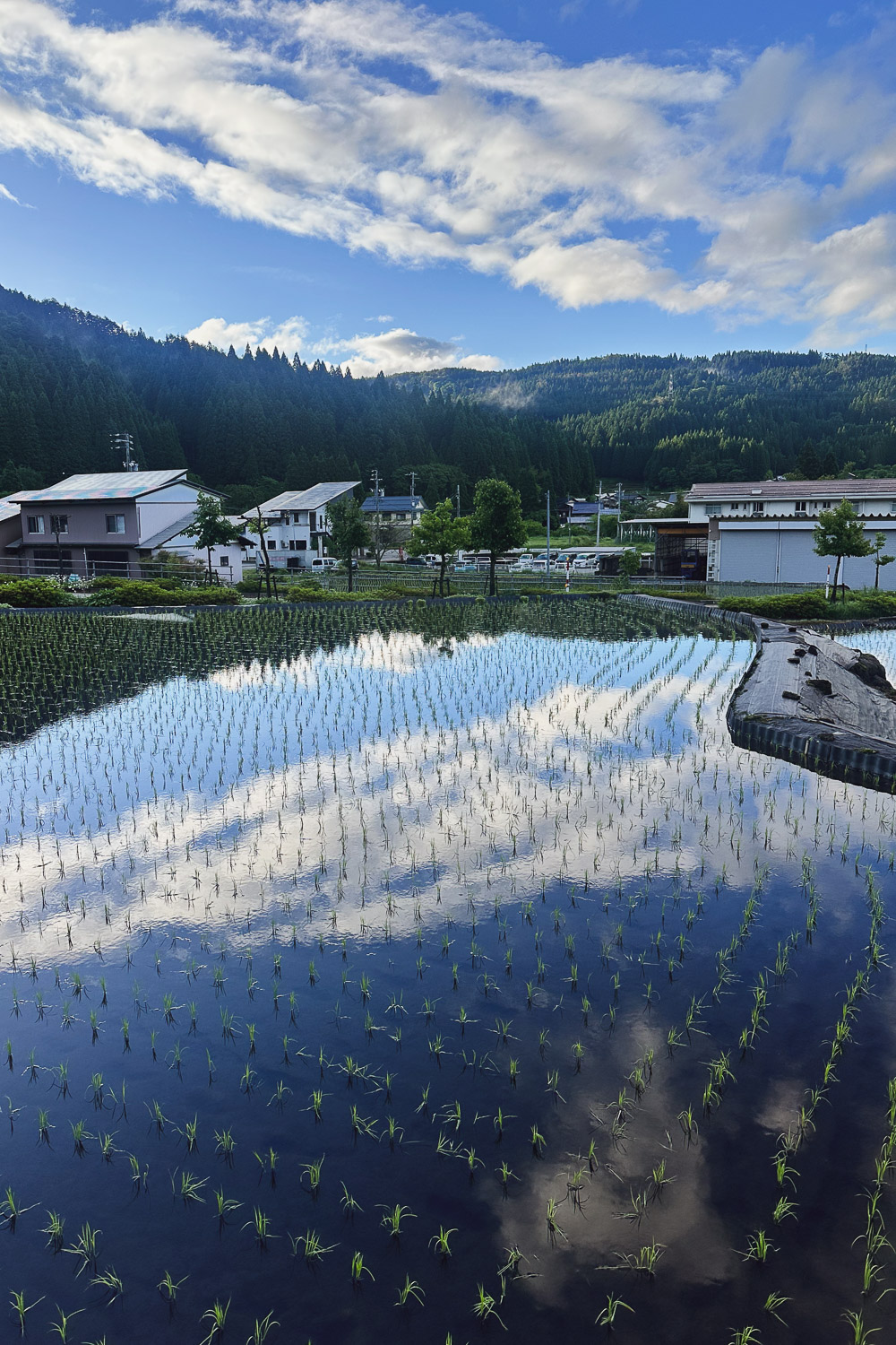
As usual, I was up early at 5:00 am. After sipping my morning coffee, stretching, and repacking [fig 1], I went on an early morning walk. The torrential rain had disappeared overnight, revealing a magnificent blue sky. The morning light over the rice fields and the reflections of the sky in the still water were so peaceful. [fig 2]
The weather had completely transformed overnight, and I was relieved to know that the rest of the trip would be dry and sunny.
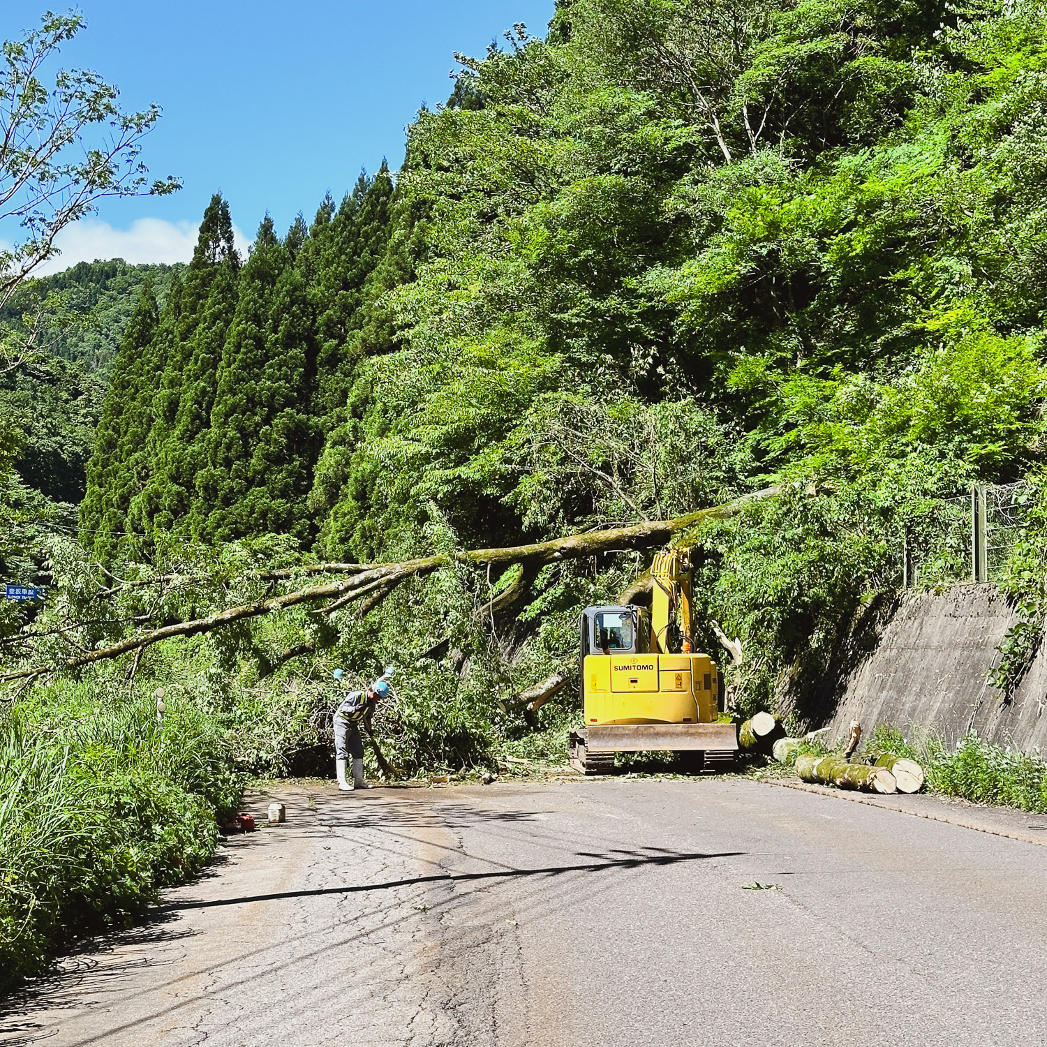
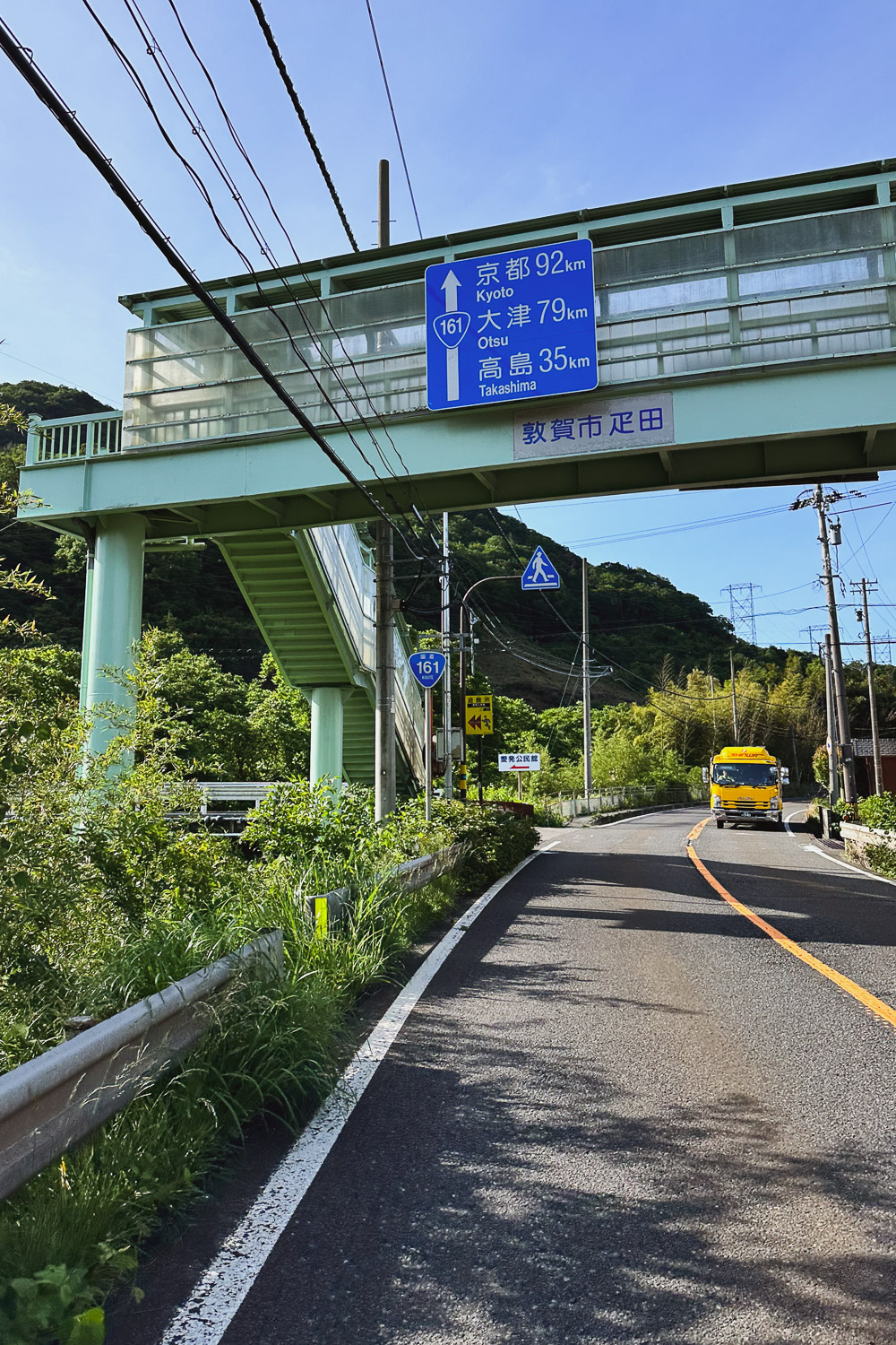
After breakfast with Arnout and Adrien, we left at 8:30 am, heading towards Tsuruga (敦賀市). A few kilometersmiles in, as we started ascending the Mino Highway, a 5 km climb with an average gradient of 6.3% and 320 meters3.1 mi climb with an average gradient of 6.3% and 1050 ft of elevation, we encountered a fallen tree blocking the road. [fig 3]
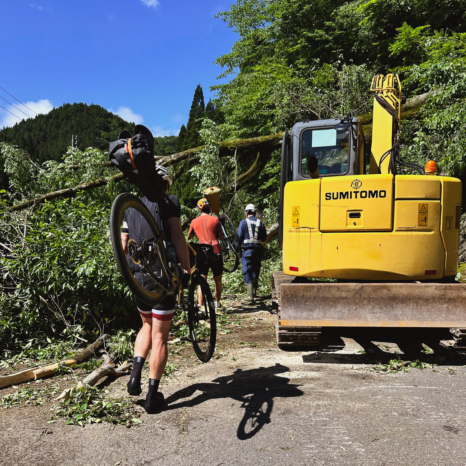
After five minutes of talking with the person in charge of operations and many "Sumimasen すみません" later, the workers turned off the chainsaw and let us cross the fallen tree [fig 4], allowing us to resume our ascent.
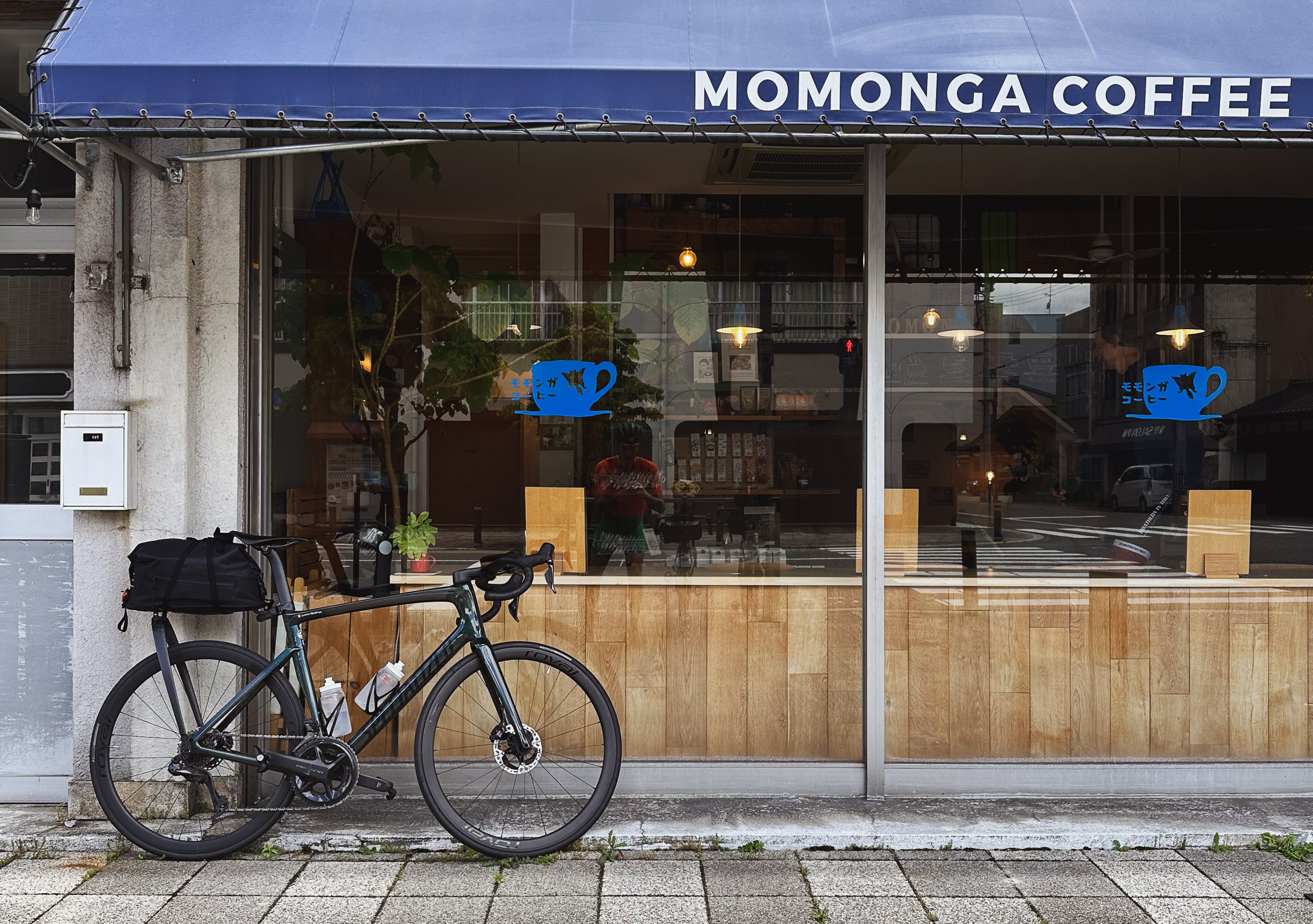
Sixty kilometersThirty seven miles of downhill riding through the mountains brought us past Ono, where I spotted a neat-looking coffee shop, Momonga Coffee & Roastery [fig 5]. Excited to try a new place, I forgot I had just consumed a Maurten caffeine gel containing 100 mg of caffeine. I ordered a double shot espresso, and we got back on the road.
About 30 minutes later, when all the caffeine kicked in, I realized it was too much. The next hour was a jittery and powerful ride towards Fukui (福井市, Fukui-shi), followed by a pretty miserable hour before we stopped for lunch.
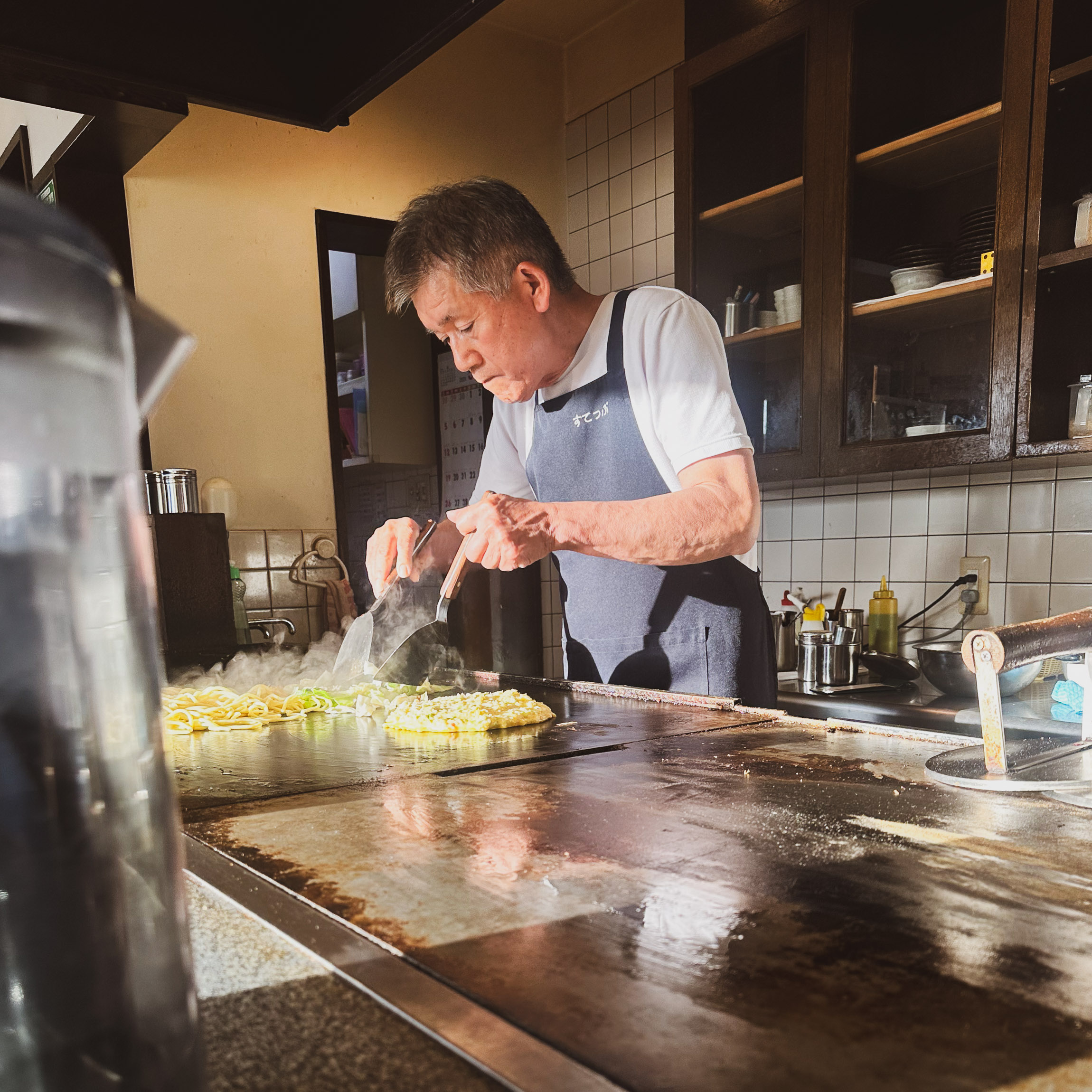
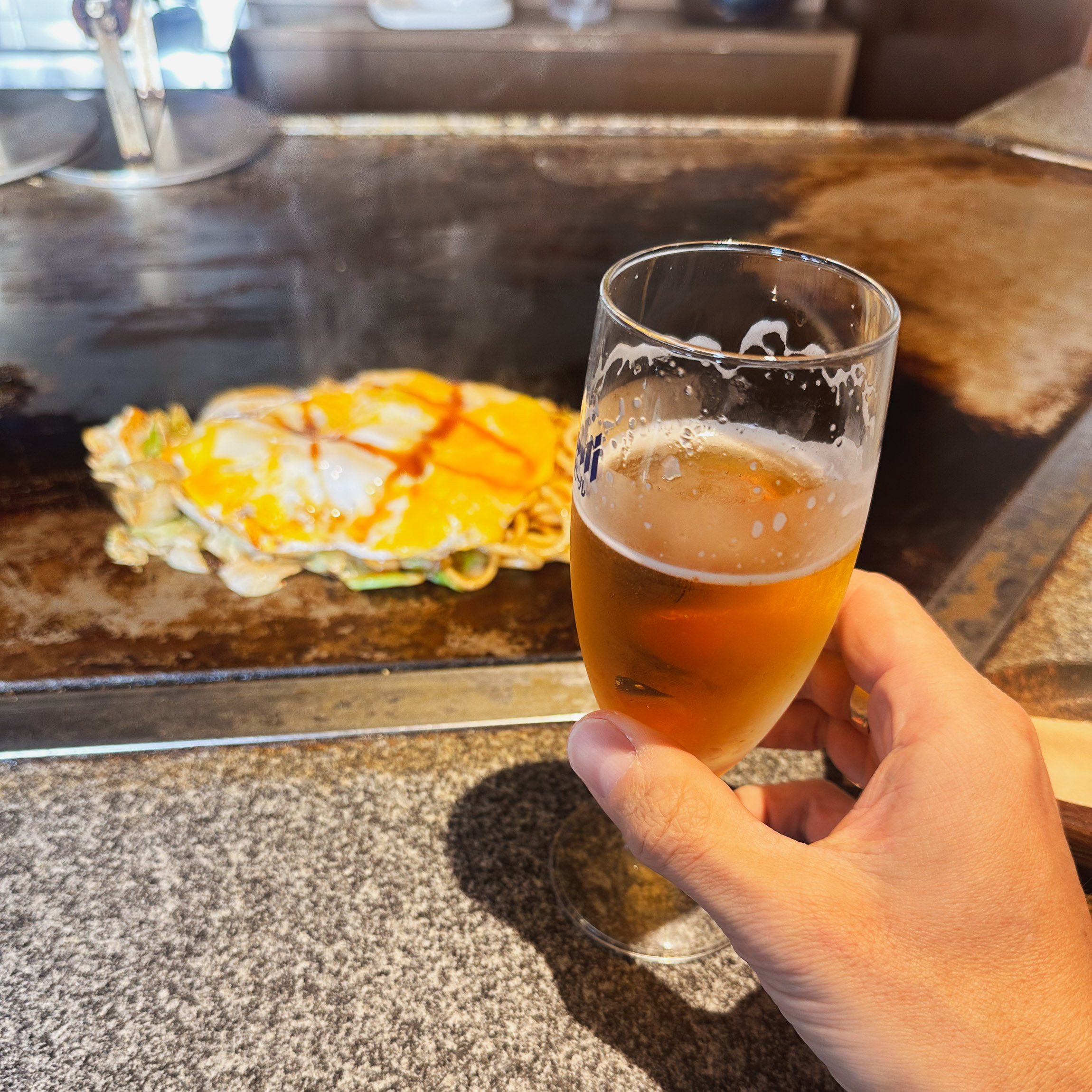
We reached the coast, arriving in Tsuruga (敦賀市, Tsuruga-shi) by the Sea of Japan (日本海). We had a glorious dinner at Step, a local family-run Yakisoba and Okonomiyaki place [fig 6 & 7] and then went to bed.
6 日目 7:14 am 05/30
97 km
60.3 mi
Distance
3:25:31
Moving Time
28.3 kph
17.6 mph
AVG Speed
819 M
2,687 ft
Elevation
19 °C
66 °F
AVG Temp
2.093 CAL
Calories
Link to Strava activity
Tsuruga 敦賀市 -> Kyōto 京都
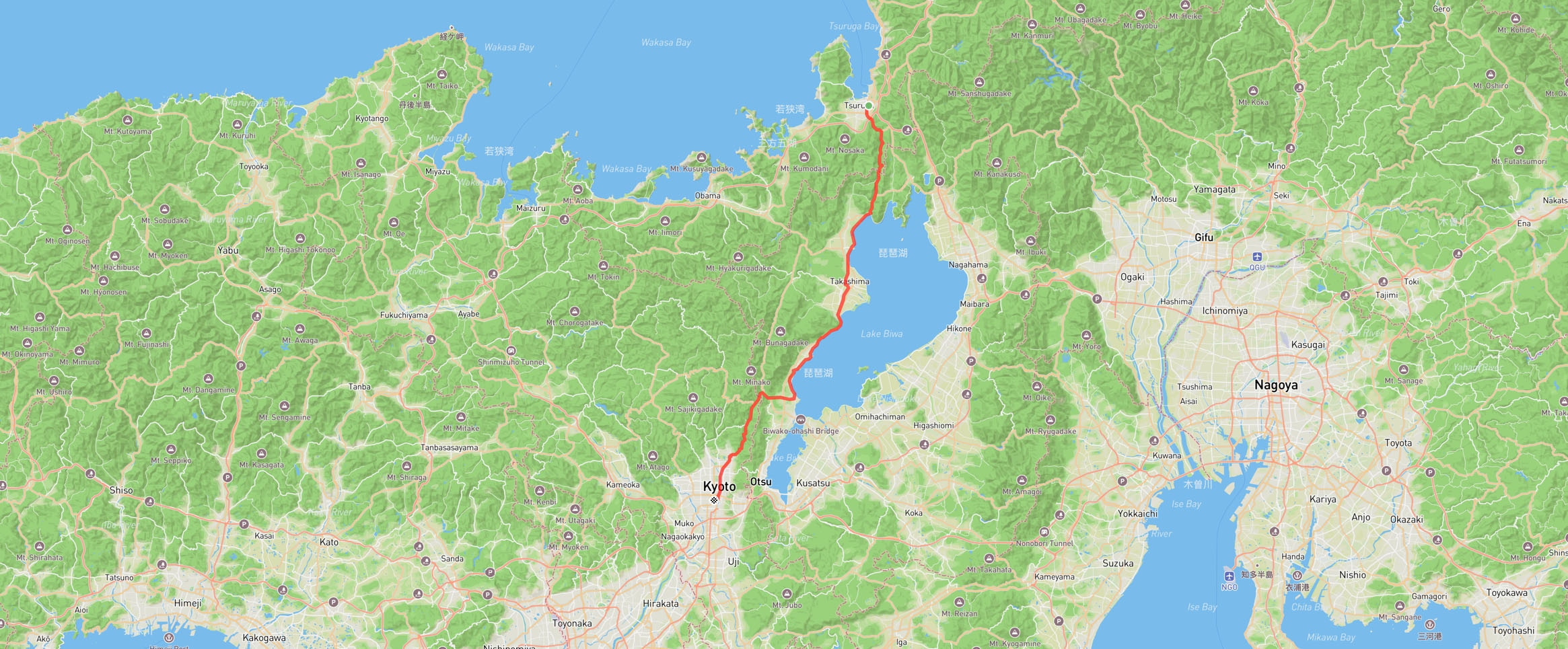
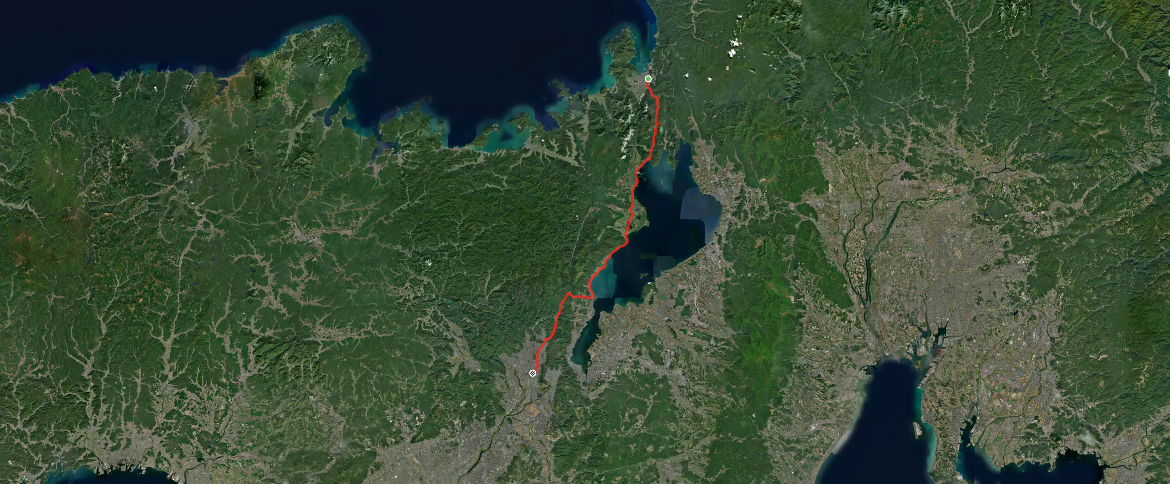
The last day had arrived, bringing with it warm and sunny weather. We left early at 7:14 am, aiming to reach Kyōto (京都) before lunch.
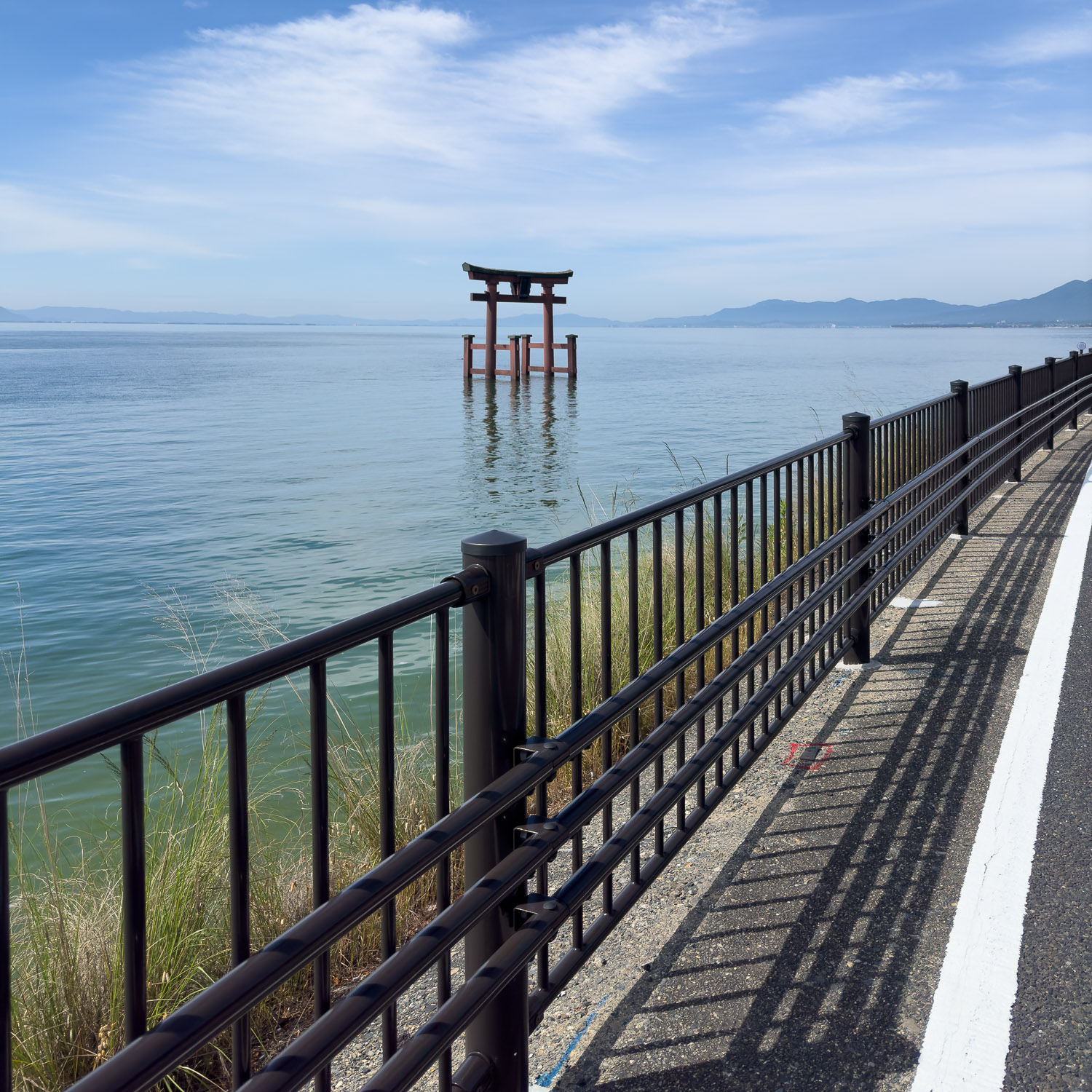
It was a gentle and easy ride along Lake Biwa (琵琶湖, Biwa-ko) [fig 1], the largest freshwater lake in Japan. Located entirely within Shiga Prefecture (west-central Honshu), northeast of the former capital city of Kyōto, Lake Biwa is an ancient lake, over 4 million years old, and estimated to be the 13th oldest lake in the world.
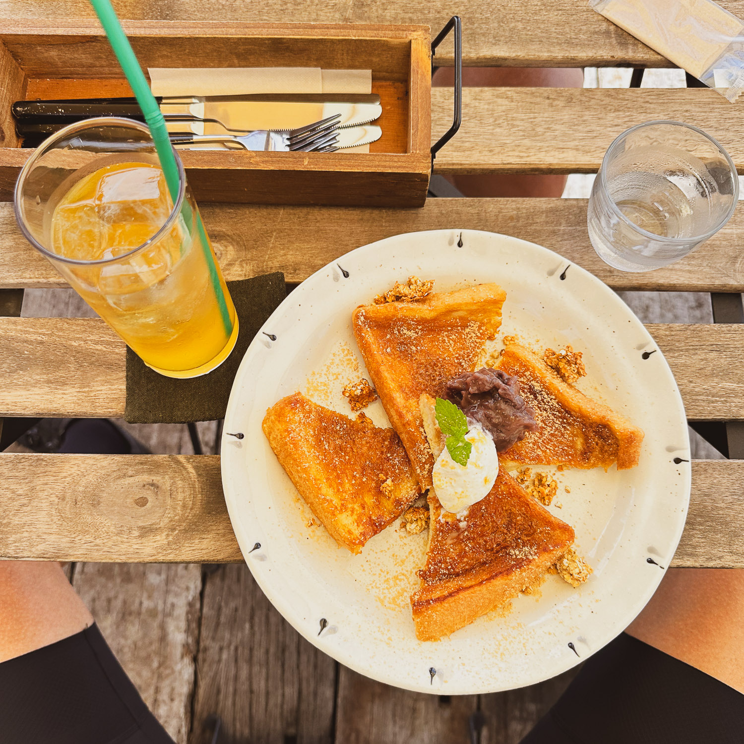
Before tackling the very last climb of the adventure, a 6 km ascent at a 5% average gradient with about 300 meters3.7 mi ascent at a 5% average gradient with about 985 ft of elevation gain, we stopped for a toast [fig 2] and then got back on the road.
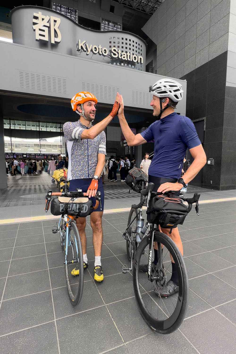
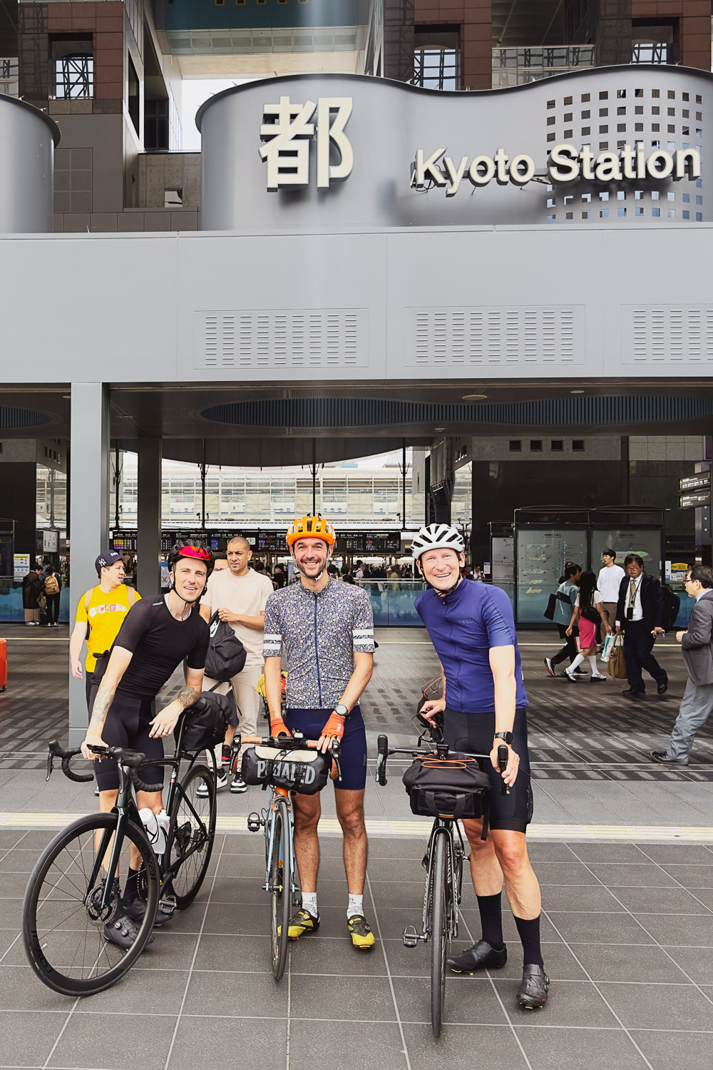
The final 30 km18.7 mi to Kyōto were all downhill, with some fast time trial segments leading us straight to Kyōto station (京都駅, Kyōto-eki).
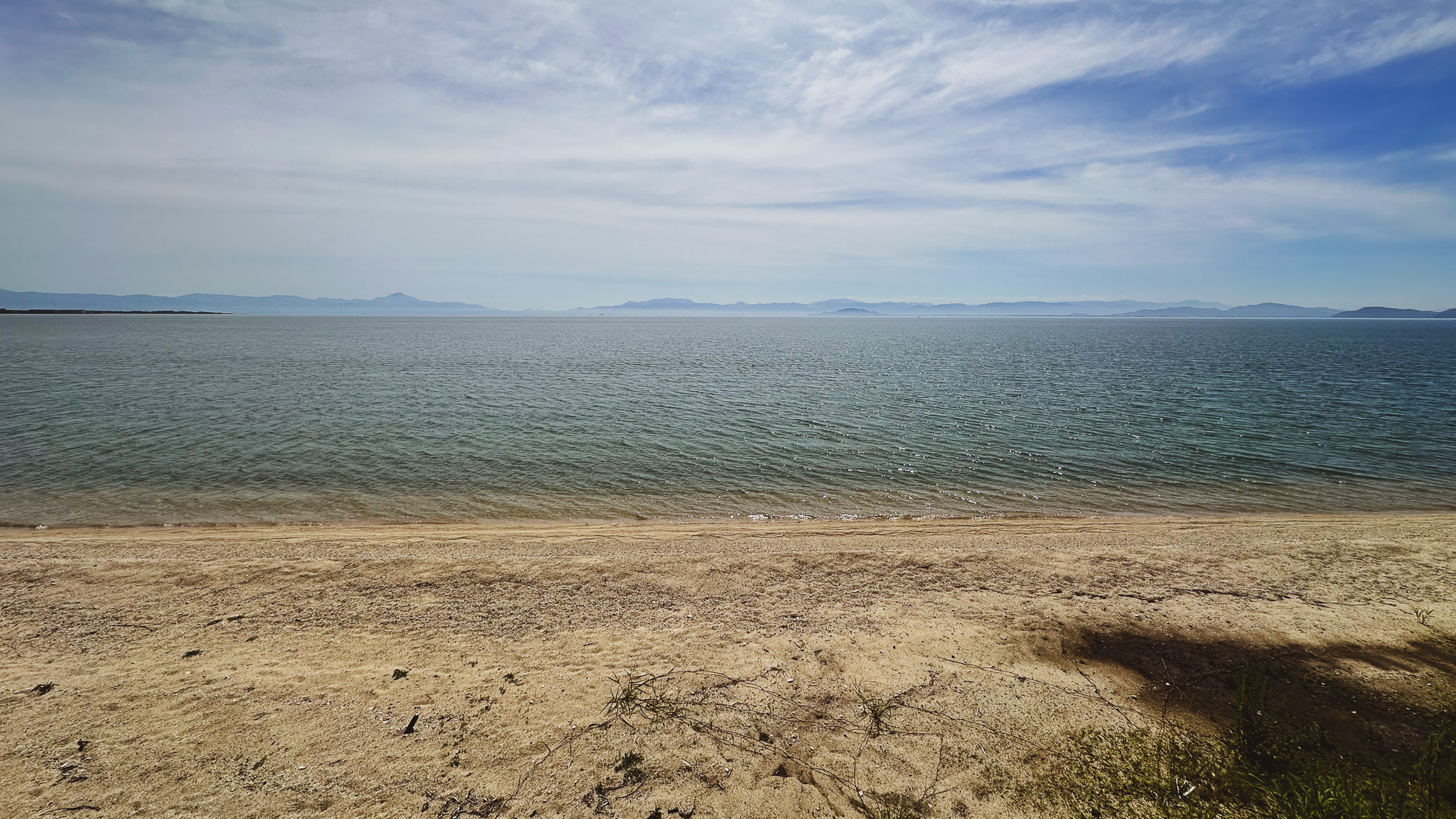
And so, it was the end. After 6 days, 766 km, 11,292 meters476 miles, 37,048 ft of elevation, and 28 hours and 31 minutes in the saddle, I said goodbye to Arnout and Adrien [fig 3] [fig 4 - by Stranger]. I was ready to reunite with my family in Kyōto and see my two-and-a-half-year-old daughter, whom I had missed dearly.
What an adventure :-)
Addendum
PACK WEIGHT: 5830gBIKE WEIGHT: 7360g
- Packing list
-
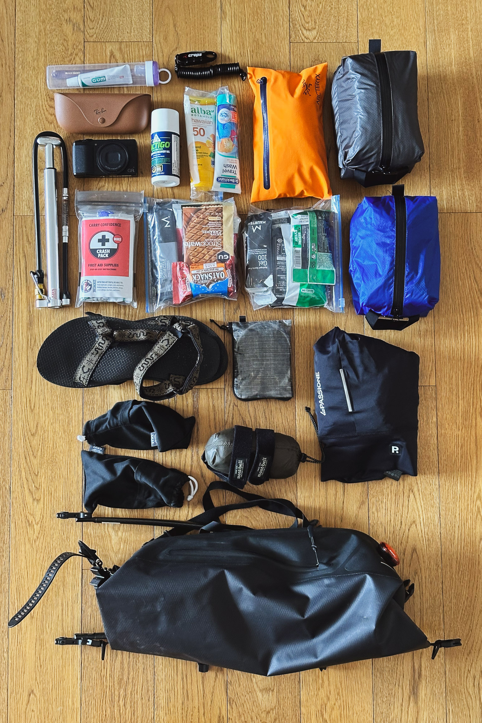
Crash pack 137g Nutrition 3 day (1) 392g Nutrition 3 day (2) 392g Camera Ricoh GRii 257g Lactigo Gel Recovery 139g Sunscreen 50fps 109g Bike tool (1) 358g Wash liquid 116g Clothing + bike tool (2) 582g Short Bib + jersey 273g Rinko Bag + straps 212g Lezyne Bike pump 186g Tooth Brush + paste 54g USB cables + power 205g Bike lock 86g Teva Sandals 455g Tailfin AeroPack Carbon 740g Oakley Kato solar 50g Oakley Kato clear 50g Montbell GoreTex ShakeDry 170g La Passione Merino layer 80g - Equipment
-
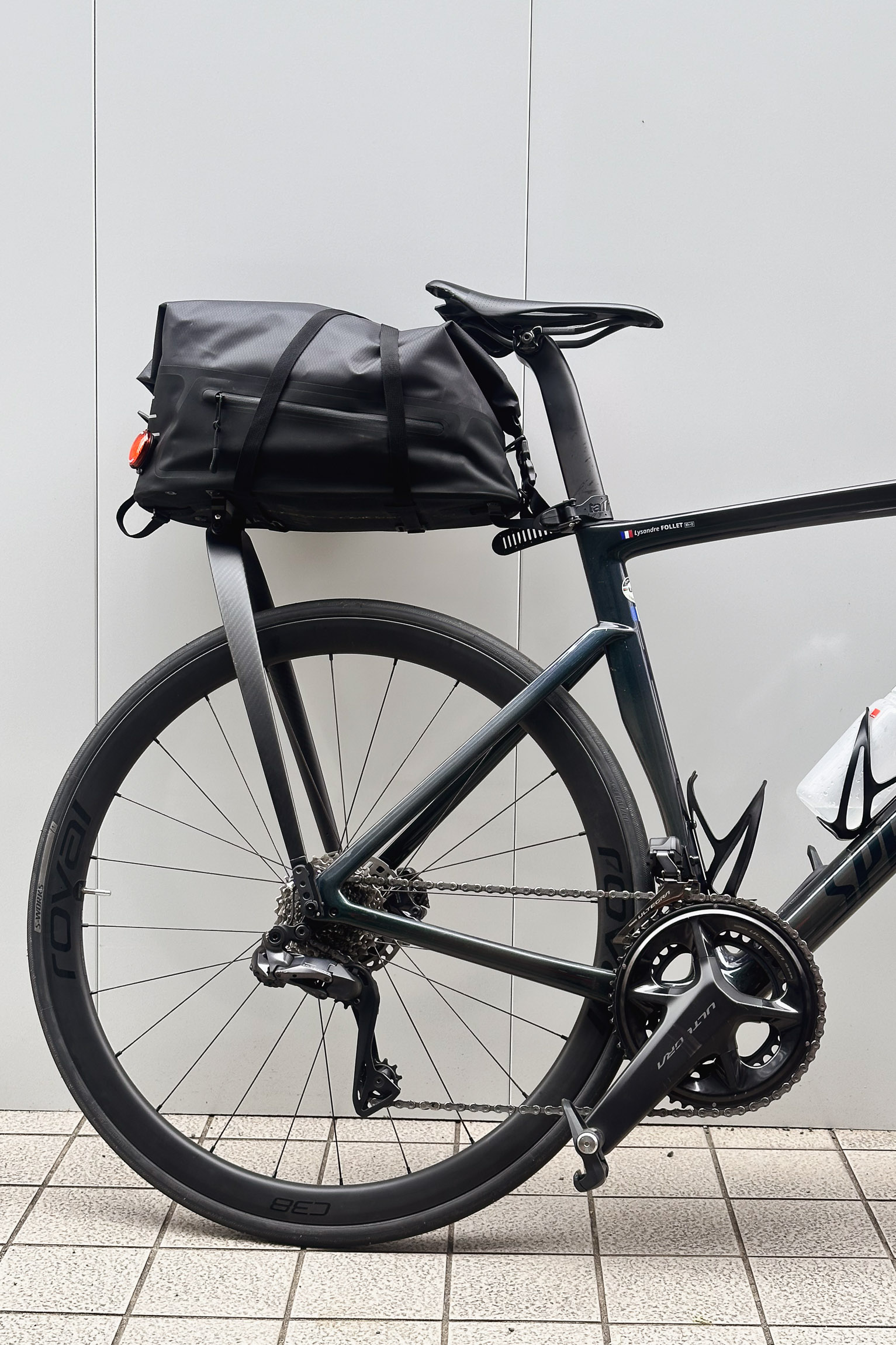
Pack is the Tailfin AeroPack Carbon, a very well designed integrated rigid seatpack.
Up to 9kg / 18L capacity and weight only 772g. It's a very stable and sturdy solution ideal if you want to keep a fast riding style.
Bike is the Specialized Tarmac SL7 Expert 2022 with Shimano Ultegra, 12-speed, 11-30t cassette and 52/36T chainrings, 26mm Tires.
Because of the weather we encounter, a fast gravel bike like the Specialized Crux with wider tires would have been a better option.
It wouldn't be an adventure if it was going to be easy?
— Adam
